
File:USA Hawaii location map.svg

Original file (SVG file, nominally 1,441 × 935 pixels, file size: 31 KB)
| This is a file from the Wikimedia Commons. Information from its description page there is shown below. Commons is a freely licensed media file repository. You can help. |
| Description |
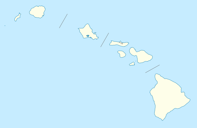
Quadratische Plattkarte, N-S-Streckung 107 %. Geographische Begrenzung der Karte:
Equirectangular projection, N/S stretching 107 %. Geographic limits of the map:
|
|
| Date | 09-06-2009 | |
| Source |
own work, using
|
|
| Author | NordNordWest | |
| Permission (Reusing this file) |
This file is licensed under the Creative Commons Attribution-Share Alike 3.0 Germany license.
 This file is licensed under the Creative Commons Attribution-Share Alike 3.0 Germany license.
|
|
| Other versions |
Derivative works of this file: |
|
| SVG development | This vector image was created with Inkscape, or with something else. |


|
This map has been made or improved in the German Kartenwerkstatt (Map Lab). You can propose maps to improve as well.
|
File history
Click on a date/time to view the file as it appeared at that time.
| Date/Time | Thumbnail | Dimensions | User | Comment | |
|---|---|---|---|---|---|
| current | 18:36, 13 June 2009 | | 1,441 × 935 (31 KB) | NordNordWest | {{Information |Description= {{de|Positionskarte von Hawaii, USA}} Quadratische Plattkarte, N-S-Streckung 107 %. Geographische Begrenzung der Karte: * N: 22.4° N * S: 18.7° N * W: 160.7° W * O: 154.6° W {{en|Location map of [ |
File usage
More than 100 pages use this file. The following list shows the first 100 pages that use this file only. A full list is available.
- Alexander & Baldwin
- Aliʻiōlani Hale
- Aloha Stadium
- Aloha Tower
- Attack on Pearl Harbor
- Bishop Museum
- Captain Cook, Hawaii
- Cathedral Church of Saint Andrew (Honolulu)
- Co-Cathedral of Saint Theresa of the Child Jesus (Honolulu, Hawaii)
- Dillingham Airfield
- Disney Vacation Club
- Downtown Honolulu
- East Hawaii Cultural Center
- Falls of Clyde (ship)
- Foster Botanical Garden
- Haiku, Hawaii
- Haleakalā National Park
- Hana Airport
- Hawaii Theatre
- Hawaiian Volcano Observatory
- Hawaiʻi Volcanoes National Park
- Haʻena State Park
- Hickam Housing, Hawaii
- Hilo, Hawaii
- Honolulu
- Honolulu Hale
- Honolulu Museum of Art
- Honolulu Stadium
- Huliheʻe Palace
- Hānaiakamalama
- Iao Valley
- Iraivan Temple
- Ka Lae
- Kaena Point Space Force Station
- Kahoʻolawe
- Kahului, Hawaii
- Kailua, Hawaii
- Kailua-Kona, Hawaii
- Kalaupapa, Hawaii
- Kalaupapa National Historical Park
- Kaloko-Honokōhau National Historical Park
- Kaneohe, Hawaii
- Kapolei, Hawaii
- Kaunakakai, Hawaii
- Kawaiahaʻo Church
- Kealakekua Bay
- Keaīwa Heiau State Recreation Area
- Keokea, Maui County, Hawaii
- Kihei, Hawaii
- Kilauea Point National Wildlife Refuge
- King David Kalakaua Building
- Kohala Historical Sites State Monument
- Kona Hawaii Temple
- Kula, Hawaii
- Kōkeʻe State Park
- Lahaina, Hawaii
- Laie Hawaii Temple
- Lanai Airport
- Lava Tree State Monument
- List of Hawaii state parks
- Long Beach Airport
- Lyman House Memorial Museum
- Maria Lanakila Catholic Church
- Marine Corps Base Hawaii
- Mililani, Hawaii
- Molokai Airport
- Mountain West Conference
- Niihau
- Nā Pali Coast State Park
- Oahu Railway and Land Company
- Oakland International Airport
- Olinda, Hawaii
- Pacific Missile Range Facility
- Pearl City, Hawaii
- Port Allen Airport
- President William McKinley High School
- Princeville Airport
- Punahou School
- Puʻuhonua o Hōnaunau National Historical Park
- Royal Mausoleum (Mauna ʻAla)
- Russian Fort Elizabeth
- Sacramento International Airport
- Sacred Falls State Park
- San Jose International Airport
- Schofield Barracks
- USS Arizona Memorial
- USS Bowfin
- USS Missouri (BB-63)
- University of Hawaiʻi
- Volcano, Hawaii
- Waikiki Natatorium War Memorial
- Wailuku, Hawaii
- Waimea, Hawaii County, Hawaii
- Waimea-Kohala Airport
- Waimea Canyon State Park
- Waipahu, Hawaii
- Washington Place
- Wheeler Army Airfield
- ʻAkaka Falls State Park
- ʻEwa Gentry, Hawaii
View more links to this file.
Global file usage
The following other wikis use this file:
- Usage on af.wikipedia.org
- Usage on an.wikipedia.org
- Usage on ar.wikipedia.org
- Usage on ast.wikipedia.org
- Archipiélagu de Ḥawai
- Honolulu
- Sablera Lanikai
- Oahu
- Waikiki
- Haleakala
- Mauna Loa
- Observatorios de Mauna Kea
- Cadena de montes somarinos Ḥawai-Emperador
- Mauna Kea
- Pearl Harbor
- Módulu:Mapa de llocalización/datos/Ḥawai
- Módulu:Mapa de llocalización/datos/Ḥawai/usu
- Kilauea
- Wheeler Army Airfield
- Niihau
- Diamond Head (Ḥawai)
- Usage on azb.wikipedia.org
- کاهیلوئی، هاوایی
- منیل هاوایی
- وایوآینیو، هاوایی
- دیسکاوری هاربور، هاوایی
- ماهیناهینا، هاوایی
- هواولیهوا، هاوایی
- هایکو، هاوایی
- هوناناو، هاوایی
- کینی، هاوایی
- هیلهوماها، هاوایی
- وایکله، هاوایی
- لانیوپوکو، هاوایی
- میلیلانی ماکا، هاوایی
- وست لاک استیتس، هاوایی
- نīنول، هاوایی
- پاوهاو، هاوایی
- پāپاʻالوا، هاوایی
- ʻوالاپوʻ، هاوایی
- وولکانو، هاوایی
- هیلو، هاوایی
- ایشوفیلد باراکس
- کایلوا-کونا، هاوایی
- کاپولئی، هاوایی
- کیلیا، هاوایی
View more global usage of this file.