
File:Xinjiang prfc map2.png
Size of this preview: 777 × 599 pixels. Other resolutions: 311 × 240 pixels | 622 × 480 pixels | 996 × 768 pixels | 1,050 × 810 pixels.
Original file (1,050 × 810 pixels, file size: 49 KB, MIME type: image/png)
| This is a file from the Wikimedia Commons. Information from its description page there is shown below. Commons is a freely licensed media file repository. You can help. |
Summary
| Description |
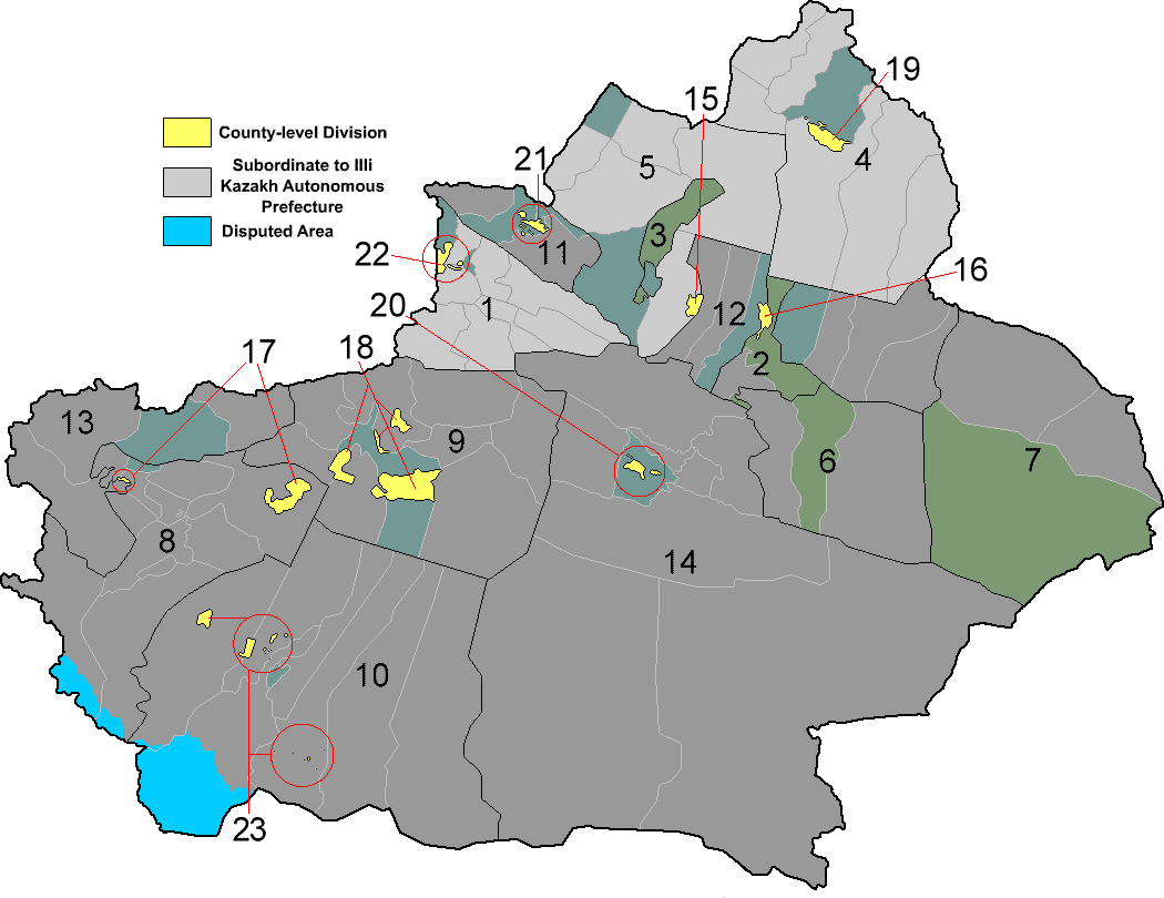
English: Map of prefectures of Xinjiang Autonomous Region |
||
| Date | |||
| Source | Own work | ||
| Author | ASDFGH | ||
| Permission (Reusing this file) |
|
||
| Other versions | File:Xinjiang prfc map2alt.png |
File history
Click on a date/time to view the file as it appeared at that time.
| Date/Time | Thumbnail | Dimensions | User | Comment | |
|---|---|---|---|---|---|
| current | 08:26, 14 April 2018 | | 1,050 × 810 (49 KB) | ASDFGH | update |
| 04:22, 14 April 2018 |  | 1,050 × 810 (48 KB) | ASDFGH | update | |
| 03:45, 11 January 2016 |  | 1,051 × 801 (55 KB) | ASDFGH | fix | |
| 23:32, 13 April 2015 |  | 1,051 × 801 (55 KB) | ASDFGH | add Kokdala / 可克达拉市 / كۆكدالا شەھىرى | |
| 18:10, 29 March 2015 |  | 1,051 × 801 (54 KB) | ASDFGH | fix shuanghe | |
| 01:22, 20 December 2014 |  | 1,051 × 801 (54 KB) | ASDFGH | == {{int:filedesc}} == {{Information |Description={{en|1=Map of prefectures of Xinjiang Autonomous Region}} |Source={{own}} |Author=ASDFGH |Date=2014-12-20 |Permission={{PD-self}} |other_versions= }} [[Category:Maps of prefecture-leve... |
File usage
The following pages on the English Wikipedia use this file (pages on other projects are not listed):
Global file usage
The following other wikis use this file:
- Usage on ar.wikipedia.org
- Usage on da.wikipedia.org
- Usage on de.wikipedia.org
- Usage on fi.wikipedia.org
- Usage on ja.wikipedia.org
- Usage on lez.wikipedia.org
- Usage on pl.wikipedia.org
- Usage on tt.wikipedia.org
- Usage on zh.wikipedia.org