
Ilirney (lake)
| Ilirney | |
|---|---|
 Ilirney. Northern lake Sentinel-2 image. | |
 Ilirney Location  Ilirney Ilirney (Russia) | |
 Ilirney. Southern lake Sentinel-2 image. | |
| Location | Bilibinsky District, Chukotka Autonomous Okrug |
| Coordinates | 67°27′N 168°33′E / 67.450°N 168.550°E |
| Etymology | rocky island |
| Primary inflows | Ilirneyveyem |
| Primary outflows | Ilirneyveyem |
| Basin countries | Chukotka, Russia |
| Max. length | 9.4 km (5.8 mi) |
| Max. width | 3.1 km (1.9 mi) |
| Surface area | 28.2 km2 (10.9 sq mi) |
| Surface elevation | 421 m (1,381 ft) |
| Islands | One (northern lake) |
Ilirney (Chukchi Элер-нэй) is a group of two lakes in Bilibinsky District, Chukotka Autonomous Okrug, Russia.
Archaeological remains of the Neolithic have been found on the shores of the lake.
Etymology[edit]
The name originated in the Chukchi word Eler-nei, meaning "rocky island",[1] after the island located in the middle of the northern lake (Verkhniy Ilirneygytgyn).[2]
Geography[edit]
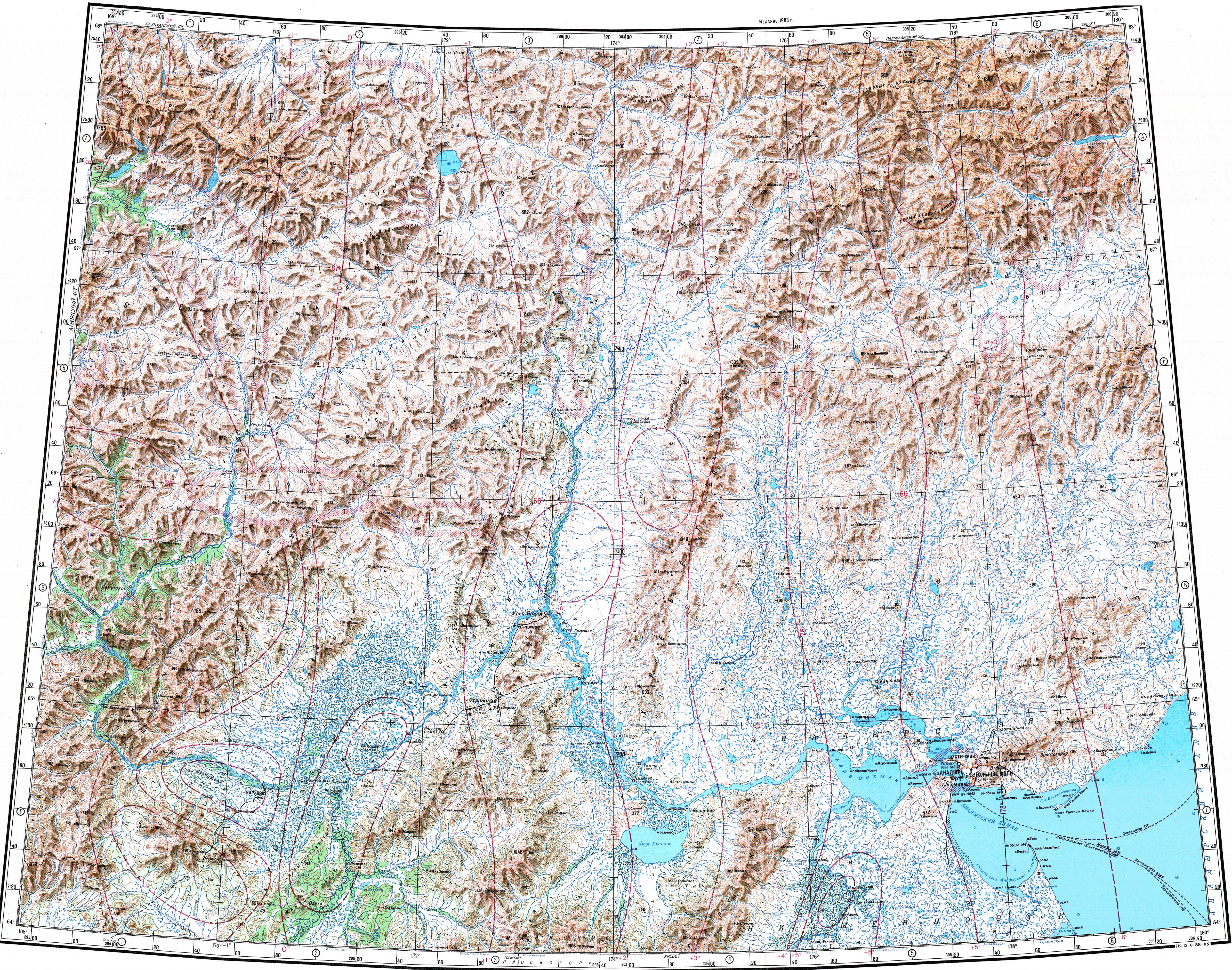
The lakes are located on the southern side of the Ilirney Range in the upper reaches of the Maly Anyuy River, 20 km from Ilirney town. Dvukh Tsirkov, the highest peak of the range rises to the north of the lake. River Ilirneyveyem flows to the east of it.
Southern Ilirney (Nizhniy Ilirneygytgyn) is a slightly larger lake located 8.5 km to the southwest of the northern lake. River Ilirneyveyem flows in and out of Southern Ilirney. Lake Tytyl lies 33 km to the east.[3]
See also[edit]
References[edit]
- ^ Leontyev VV & Novikov KA, Toponymic Dictionary of the Northeastern USSR. Magadan Publishing House, Magadan 1989, p 148
- ^ "Ozero Verkhniy Ilirneygytgyn". Mapcarta. Retrieved 3 May 2016.
- ^ "Q-59_60 Topographic Chart (in Russian)". Retrieved 12 April 2023.
External links[edit]
This Chukotka Autonomous Okrug location article is a stub. You can help Wikipedia by expanding it. |