
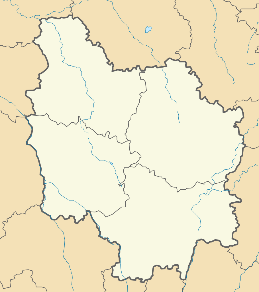
File:4-Région-fr-Bourgogne-carte-A.svg

Size of this PNG preview of this SVG file: 435 × 490 pixels. Other resolutions: 213 × 240 pixels | 426 × 480 pixels | 682 × 768 pixels | 909 × 1,024 pixels | 1,818 × 2,048 pixels.
Original file (SVG file, nominally 435 × 490 pixels, file size: 36 KB)
| This is a file from the Wikimedia Commons. Information from its description page there is shown below. Commons is a freely licensed media file repository. You can help. |
| Description | |||||
| Date | 11/12/2012 | ||||
| Source | Own work | ||||
| Author | Wikisoft* 09:48, 11 December 2012 (UTC) | ||||
| Permission (Reusing this file) |
|
||||
| SVG development |

File history
Click on a date/time to view the file as it appeared at that time.
| Date/Time | Thumbnail | Dimensions | User | Comment | |
|---|---|---|---|---|---|
| current | 15:59, 3 February 2013 | | 435 × 490 (36 KB) | Flappiefh | Suppression de la bordure et couleurs harmonisées. |
| 09:48, 11 December 2012 |  | 435 × 490 (42 KB) | Wikisoft* | {{Information |Description ={{fr|1=*Carte fr Bourgogne Administrative *fr:Modèle:Géolocalisation/Bourgogne}} |Source =Travail personnel |Author =~~~~ |Date =11/12/2012 |Permission ={{GFDL-GMT}} |other_version... |
File usage
The following pages on the English Wikipedia use this file (pages on other projects are not listed):
Global file usage
The following other wikis use this file:
- Usage on ar.wikipedia.org
- Usage on bg.wikipedia.org
- Usage on ca.wikipedia.org
- Usage on ceb.wikipedia.org
- Usage on el.wikipedia.org
- Usage on es.wikipedia.org
- Usage on fr.wikipedia.org
- Château de Saint-Fargeau
- Saint-Martin-sur-Ocre (Yonne)
- Aillant-sur-Tholon
- Guerchy
- Laduz
- Neuilly (Yonne)
- Saint-Aubin-Château-Neuf
- Villemer (Yonne)
- Villiers-sur-Tholon
- Sainte-Colombe-sur-Loing
- Treigny
- Sacy (Yonne)
- Cravant (Yonne)
- Fosse Dionne
- Stade de l'Abbé-Deschamps
- Château de Corbelin
- Abbaye Sainte-Marie de la Pierre-qui-Vire
- Chapelle du Banquet
- Château de La Rochepot
- Hospices de Beaune
- Abbaye Saint-Rigaud
- Clux
- La Villeneuve (Saône-et-Loire)
- Tour de l'Horloge d'Auxerre
- Yrouerre
- Lycée Carnot (Dijon)
- Burgundy School of Business
- Aéroport d'Auxerre - Branches
- Manécanterie des Petits Chanteurs à la croix de bois
- Château de Bussy-Rabutin
- Paldenshangpa La Boulaye
- Port d'Arciat
- Pont d'Arciat
- Beffroi de Nuits-Saint-Georges
View more global usage of this file.