
File:A Map of Philadelphia and Parts Adjacent vc6b.1.jpg

Size of this preview: 437 × 599 pixels. Other resolutions: 175 × 240 pixels | 350 × 480 pixels | 640 × 877 pixels.
Original file (640 × 877 pixels, file size: 156 KB, MIME type: image/jpeg)
| This is a file from the Wikimedia Commons. Information from its description page there is shown below. Commons is a freely licensed media file repository. You can help. |
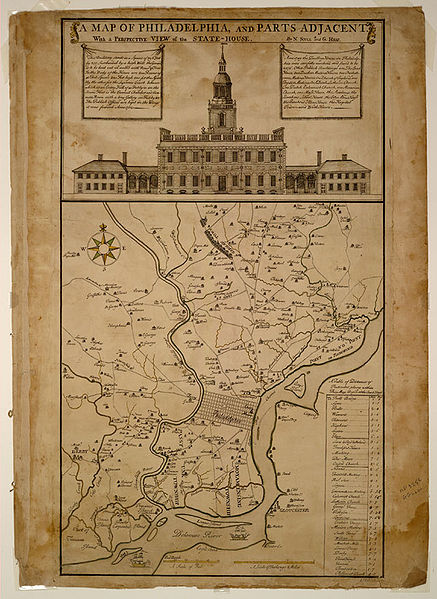
A Map of Philadelphia and Parts Adjacent, With A Perspective View of the State House. Philadelphia: Lawrence Hebert, 1752
source: http://hdl.loc.gov/loc.gmd/g3824p.ct000294
description: http://lccn.loc.gov/98690000
This media file is in the public domain in the United States. This applies to U.S. works where the copyright has expired, often because its first publication occurred prior to January 1, 1929, and if not then due to lack of notice or renewal. See this page for further explanation.
|
 | |
 |
This image might not be in the public domain outside of the United States; this especially applies in the countries and areas that do not apply the rule of the shorter term for US works, such as Canada, Mainland China (not Hong Kong or Macao), Germany, Mexico, and Switzerland. The creator and year of publication are essential information and must be provided. See Wikipedia:Public domain and Wikipedia:Copyrights for more details.
|
File history
Click on a date/time to view the file as it appeared at that time.
| Date/Time | Thumbnail | Dimensions | User | Comment | |
|---|---|---|---|---|---|
| current | 03:44, 14 December 2006 | | 640 × 877 (156 KB) | Dogears | en: Independence Hall ''A Map of Philadelphia and Parts Adjacent, With A Perspective View of the State House''. Philadelphia: Lawrence Hebert, 1752 {{PD-LOC}} |
File usage
The following pages on the English Wikipedia use this file (pages on other projects are not listed):
Global file usage
The following other wikis use this file:
- Usage on de.wikipedia.org
- Usage on es.wikipedia.org
- Usage on fr.wikipedia.org
- Usage on gl.wikipedia.org
- Usage on he.wikipedia.org
- Usage on it.wikipedia.org
- Usage on vi.wikipedia.org