
File:Ambler Road Project Area Administered Lands.png

Size of this preview: 800 × 513 pixels. Other resolutions: 320 × 205 pixels | 640 × 410 pixels | 1,024 × 656 pixels | 1,499 × 961 pixels.
Original file (1,499 × 961 pixels, file size: 2.17 MB, MIME type: image/png)
| This is a file from the Wikimedia Commons. Information from its description page there is shown below. Commons is a freely licensed media file repository. You can help. |
Summary
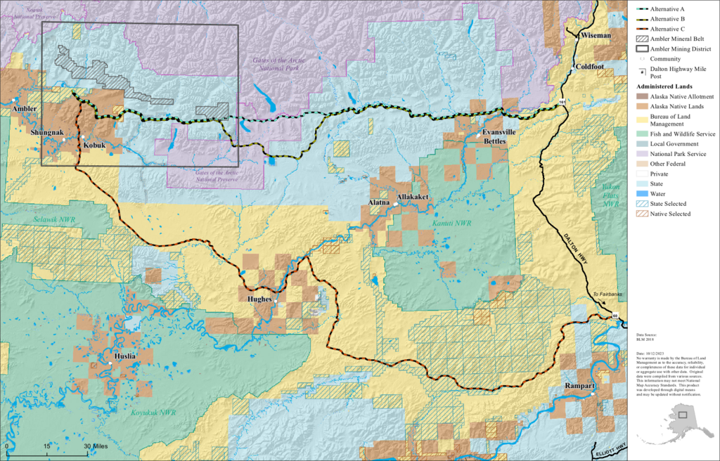
| Description | A map showing route alternatives for the proposed Ambler Road and indicating land ownership/administration in the area |
| Date | 10-12-2023 |
| Source | Extracted from PDF at https://eplanning.blm.gov/public_projects/57323/200091345/20087531/250093713/Ambler%20Road%20Project%20Area%20%20-%20Administered%20Lands.pdf |
| Author | Bureau of Land Management |
| This image is a work of a Bureau of Land Management* employee, taken or made as part of that person's official duties. As a work of the U.S. federal government, the image is in the public domain in the United States. *or predecessor organization |
File history
Click on a date/time to view the file as it appeared at that time.
| Date/Time | Thumbnail | Dimensions | User | Comment | |
|---|---|---|---|---|---|
| current | 02:22, 1 May 2024 | | 1,499 × 961 (2.17 MB) | Sipik06 | {{Information |Description= A map showing route alternatives for the proposed Ambler Road and indicating land ownership/administration in the area |Source= Extracted from PDF at https://eplanning.blm.gov/public_projects/57323/200091345/20087531/250093713/Ambler%20Road%20Project%20Area%20%20-%20Administered%20Lands.pdf |Date= 10-12-2023 |Author= Bureau of Land Management |Permission= |other_versions= }} {{PD-USGov-BLM}} Category:Dalton Highway Category:Maps of rivers in Alaska [[Cate... |
File usage
The following pages on the English Wikipedia use this file (pages on other projects are not listed):