
File:Crimea topographic.png

Size of this preview: 800 × 520 pixels. Other resolutions: 320 × 208 pixels | 640 × 416 pixels | 1,024 × 665 pixels | 1,280 × 832 pixels | 3,140 × 2,040 pixels.
Original file (3,140 × 2,040 pixels, file size: 1.81 MB, MIME type: image/png)
| This is a file from the Wikimedia Commons. Information from its description page there is shown below. Commons is a freely licensed media file repository. You can help. |
Summary
| Description |
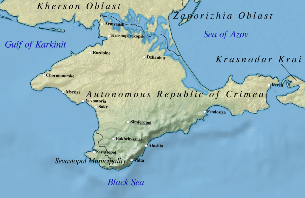
English: Topographic map of the Crimea peninsula. Scale 1:1500000. Hillshading: SRTM4, Land cover: Natural Earth data, Borders: Natural Earth Data, Location and names of geographic entities: English Wikipedia. |
| Date | |
| Source | Own work |
| Author | Tobias1984 |
Licensing
I, the copyright holder of this work, hereby publish it under the following license:
This file is licensed under the Creative Commons Attribution-Share Alike 3.0 Unported license.
- You are free:
- to share – to copy, distribute and transmit the work
- to remix – to adapt the work
- Under the following conditions:
- attribution – You must give appropriate credit, provide a link to the license, and indicate if changes were made. You may do so in any reasonable manner, but not in any way that suggests the licensor endorses you or your use.
- share alike – If you remix, transform, or build upon the material, you must distribute your contributions under the same or compatible license as the original.
File history
Click on a date/time to view the file as it appeared at that time.
| Date/Time | Thumbnail | Dimensions | User | Comment | |
|---|---|---|---|---|---|
| current | 22:30, 1 March 2014 | | 3,140 × 2,040 (1.81 MB) | Tobias1984 | User created page with UploadWizard |
File usage
The following pages on the English Wikipedia use this file (pages on other projects are not listed):
Global file usage
The following other wikis use this file:
- Usage on sk.wikipedia.org