
File:Croatia location map Zadar.svg

Size of this PNG preview of this SVG file: 215 × 157 pixels. Other resolutions: 320 × 234 pixels | 640 × 467 pixels | 1,024 × 748 pixels | 1,280 × 935 pixels | 2,560 × 1,869 pixels.
Original file (SVG file, nominally 215 × 157 pixels, file size: 400 KB)
| This is a file from the Wikimedia Commons. Information from its description page there is shown below. Commons is a freely licensed media file repository. You can help. |
Summary
| Description |
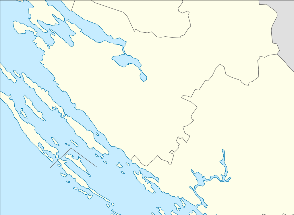
English: SVG location map of Zadar-Knin area of Croatia |
| Date | |
| Source | Own work |
| Author | Tomobe03 |
Map extent: N 44.397, W 14.963, E 16.305, S 43.692
Licensing
I, the copyright holder of this work, hereby publish it under the following license:
This file is licensed under the Creative Commons Attribution-Share Alike 3.0 Unported license.
- You are free:
- to share – to copy, distribute and transmit the work
- to remix – to adapt the work
- Under the following conditions:
- attribution – You must give appropriate credit, provide a link to the license, and indicate if changes were made. You may do so in any reasonable manner, but not in any way that suggests the licensor endorses you or your use.
- share alike – If you remix, transform, or build upon the material, you must distribute your contributions under the same or compatible license as the original.
File history
Click on a date/time to view the file as it appeared at that time.
| Date/Time | Thumbnail | Dimensions | User | Comment | |
|---|---|---|---|---|---|
| current | 14:42, 30 May 2013 | | 215 × 157 (400 KB) | Tomobe03 | Thin out lines to enhance map label readability |
| 12:16, 30 May 2013 |  | 215 × 157 (388 KB) | Tomobe03 | User created page with UploadWizard |
File usage
The following pages on the English Wikipedia use this file (pages on other projects are not listed):
Global file usage
The following other wikis use this file:
- Usage on ar.wikipedia.org
- Usage on ceb.wikipedia.org
- Usage on es.wikipedia.org
- Usage on si.wikipedia.org
- Usage on uz.wikipedia.org
- Usage on war.wikipedia.org