
File:Edmonton street map.png
Size of this preview: 650 × 599 pixels. Other resolutions: 260 × 240 pixels | 521 × 480 pixels | 678 × 625 pixels.
Original file (678 × 625 pixels, file size: 222 KB, MIME type: image/png)
| This is a file from the Wikimedia Commons. Information from its description page there is shown below. Commons is a freely licensed media file repository. You can help. |
Summary
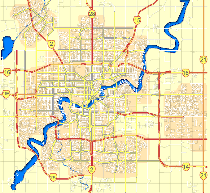
| Description | Outline map of Edmonton |
| Date | |
| Source | GIS data |
| Author | Qyd (talk · contribs) |
| Permission (Reusing this file) |
All |
| Camera location | | View this and other nearby images on: OpenStreetMap |
|---|
Licensing
| I, the copyright holder of this work, release this work into the public domain. This applies worldwide. In some countries this may not be legally possible; if so: I grant anyone the right to use this work for any purpose, without any conditions, unless such conditions are required by law. |
File history
Click on a date/time to view the file as it appeared at that time.
| Date/Time | Thumbnail | Dimensions | User | Comment | |
|---|---|---|---|---|---|
| current | 22:06, 26 October 2007 | | 678 × 625 (222 KB) | Qyd | add highway shields |
| 21:46, 26 October 2007 |  | 678 × 625 (201 KB) | Qyd | == Summary == {{Information |Description= Outline map of Edmonton |Source=GIS data |Date=Oct 2007 |Author={{User|Qyd}} |Permission=All |other_versions=Image:CalgaryAB-map.png; Image:Calgary-CTrain stations.png (with C-Train track) }} {{Locat |
File usage
The following pages on the English Wikipedia use this file (pages on other projects are not listed):
Global file usage
The following other wikis use this file: