
File:European Union Israel Locator.svg

Size of this PNG preview of this SVG file: 800 × 589 pixels. Other resolutions: 320 × 236 pixels | 640 × 471 pixels | 1,024 × 754 pixels | 1,280 × 943 pixels | 2,560 × 1,886 pixels | 2,039 × 1,502 pixels.
Original file (SVG file, nominally 2,039 × 1,502 pixels, file size: 640 KB)
| This is a file from the Wikimedia Commons. Information from its description page there is shown below. Commons is a freely licensed media file repository. You can help. |
Summary
| Description |
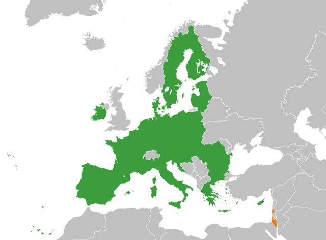
English: The European Union and Israel |
| Date | |
| Source | Own work |
| Author | Ssolbergj |
| Other versions | Derivative works of this file: European Union Greenland Locator.svg |
Licensing
I, the copyright holder of this work, hereby publish it under the following license:
This file is licensed under the Creative Commons Attribution-Share Alike 3.0 Unported license.
- You are free:
- to share – to copy, distribute and transmit the work
- to remix – to adapt the work
- Under the following conditions:
- attribution – You must give appropriate credit, provide a link to the license, and indicate if changes were made. You may do so in any reasonable manner, but not in any way that suggests the licensor endorses you or your use.
- share alike – If you remix, transform, or build upon the material, you must distribute your contributions under the same or compatible license as the original.
File history
Click on a date/time to view the file as it appeared at that time.
| Date/Time | Thumbnail | Dimensions | User | Comment | |
|---|---|---|---|---|---|
| current | 02:12, 22 December 2023 | | 2,039 × 1,502 (640 KB) | Fjmustak | Use more widely recognized Israeli borders |
| 19:55, 18 December 2023 |  | 2,039 × 1,502 (639 KB) | Iktsokh | Clearing the map | |
| 09:39, 27 March 2020 |  | 2,039 × 1,502 (639 KB) | Hogweard | Update | |
| 10:46, 2 July 2013 |  | 2,047 × 1,720 (634 KB) | Treehill | (problem with the first file uploaded) | |
| 10:31, 2 July 2013 |  | 2,047 × 1,720 (861 KB) | Treehill | + Croatia | |
| 13:25, 31 May 2008 |  | 2,047 × 1,720 (861 KB) | Ssolbergj | {{Information |Description= |Source= |Date= |Author= |Permission= |other_versions= }} | |
| 12:23, 31 May 2008 |  | 2,047 × 1,720 (859 KB) | Ssolbergj | {{Information |Description={{en|1=The European Union and Israel}} |Source=Own work by uploader |Author=Ssolbergj |Date=31 May 2008 |Permission= |other_versions= }} {{ImageUpload|full}} [[Category:Maps of the European Union and third co |
File usage
No pages on the English Wikipedia use this file (pages on other projects are not listed).
Global file usage
The following other wikis use this file:
- Usage on es.wikipedia.org
- Usage on fr.wikipedia.org