
File:Gemeindeverwaltung Rieder.jpg

Size of this preview: 800 × 600 pixels. Other resolutions: 320 × 240 pixels | 640 × 480 pixels | 1,024 × 768 pixels | 1,280 × 960 pixels | 2,592 × 1,944 pixels.
Original file (2,592 × 1,944 pixels, file size: 2.49 MB, MIME type: image/jpeg)
| This is a file from the Wikimedia Commons. Information from its description page there is shown below. Commons is a freely licensed media file repository. You can help. |
Summary
| Description |
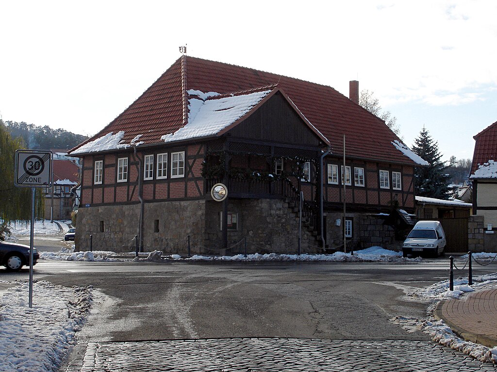
Deutsch: Rieder Gemeindeverwaltung |
| Date | |
| Source | Own work |
| Author | Amuslucy |
| Object location | | View this and other nearby images on: OpenStreetMap |
|---|
Licensing
| I, the copyright holder of this work, release this work into the public domain. This applies worldwide. In some countries this may not be legally possible; if so: I grant anyone the right to use this work for any purpose, without any conditions, unless such conditions are required by law. |
File history
Click on a date/time to view the file as it appeared at that time.
| Date/Time | Thumbnail | Dimensions | User | Comment | |
|---|---|---|---|---|---|
| current | 14:09, 28 April 2012 | | 2,592 × 1,944 (2.49 MB) | Mario Link | wmr / "Wasserzeichen" weg (beschnitt und gestempelt), Kontrast, Unscharf maskiert |
| 10:40, 11 February 2007 |  | 2,592 × 1,944 (1.07 MB) | Amuslucy~commonswiki | Rieder Gemeindeverwaltung, own work, November 2004, Lange |
File usage
No pages on the English Wikipedia use this file (pages on other projects are not listed).
Global file usage
The following other wikis use this file:
- Usage on kk.wikipedia.org
- Usage on ru.wikipedia.org