
File:Italy location map satellite.jpg

Size of this preview: 452 × 599 pixels. Other resolutions: 181 × 240 pixels | 362 × 480 pixels | 579 × 768 pixels | 1,056 × 1,400 pixels.
Original file (1,056 × 1,400 pixels, file size: 183 KB, MIME type: image/jpeg)
| This is a file from the Wikimedia Commons. Information from its description page there is shown below. Commons is a freely licensed media file repository. You can help. |
Summary
| Description |
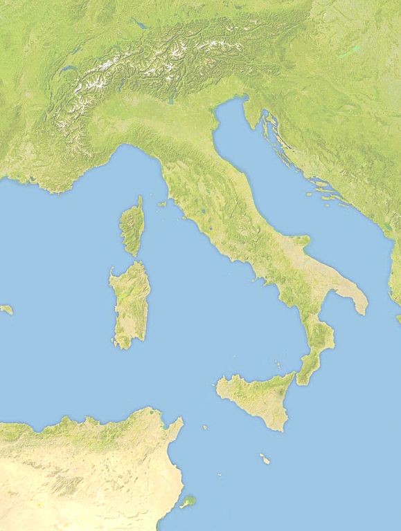
Italiano: Carta del territorio italiano compresi i territori di Nizza e Savoia.
Estremi: N: 48° N; S: 34° N; W: 4° E; E: 20° E |
| Date | |
| Source |
This file was derived from: Europe satellite image location map Britain To Turkey.jpg (user:Victuallers) |
| Author | user:M.casanova |
Licensing
| I, the copyright holder of this work, release this work into the public domain. This applies worldwide. In some countries this may not be legally possible; if so: I grant anyone the right to use this work for any purpose, without any conditions, unless such conditions are required by law. |
File history
Click on a date/time to view the file as it appeared at that time.
| Date/Time | Thumbnail | Dimensions | User | Comment | |
|---|---|---|---|---|---|
| current | 13:07, 11 December 2016 | | 1,056 × 1,400 (183 KB) | M.casanova | User created page with UploadWizard |
File usage
The following pages on the English Wikipedia use this file (pages on other projects are not listed):