
File:Jefferys' 1765 map of Beds Dunstable.jpg
Size of this preview: 800 × 505 pixels. Other resolutions: 320 × 202 pixels | 640 × 404 pixels | 1,047 × 661 pixels.
Original file (1,047 × 661 pixels, file size: 232 KB, MIME type: image/jpeg)
| This is a file from the Wikimedia Commons. Information from its description page there is shown below. Commons is a freely licensed media file repository. You can help. |
Summary
| Description |
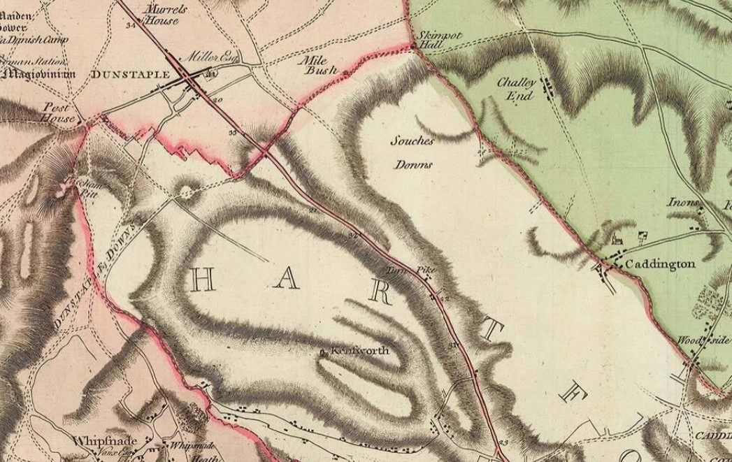
English: A snippet of Thomas Jefferys' 1765 map of Bedfordshire showing Blow's Down and a part of Dunstable |
| Date | |
| Source | A scan of a map |
| Author | Thomas Jefferys |
Licensing
|
The author died in 1771, so this work is in the public domain in its country of origin and other countries and areas where the copyright term is the author's life plus 100 years or fewer. This work is in the public domain in the United States because it was published (or registered with the U.S. Copyright Office) before January 1, 1929. | |
| This file has been identified as being free of known restrictions under copyright law, including all related and neighboring rights. | |
File history
Click on a date/time to view the file as it appeared at that time.
| Date/Time | Thumbnail | Dimensions | User | Comment | |
|---|---|---|---|---|---|
| current | 12:27, 4 August 2023 | | 1,047 × 661 (232 KB) | GaseousButter | Uploaded a work by Thomas Jefferys from A scan of a map with UploadWizard |
File usage
The following pages on the English Wikipedia use this file (pages on other projects are not listed):