
File:Jihlava (CZE) - location map.svg

Size of this PNG preview of this SVG file: 800 × 458 pixels. Other resolutions: 320 × 183 pixels | 640 × 366 pixels | 1,024 × 586 pixels | 1,280 × 733 pixels | 2,560 × 1,465 pixels | 3,417 × 1,956 pixels.
Original file (SVG file, nominally 3,417 × 1,956 pixels, file size: 169 KB)
| This is a file from the Wikimedia Commons. Information from its description page there is shown below. Commons is a freely licensed media file repository. You can help. |
_-_location_map.svg)
Summary
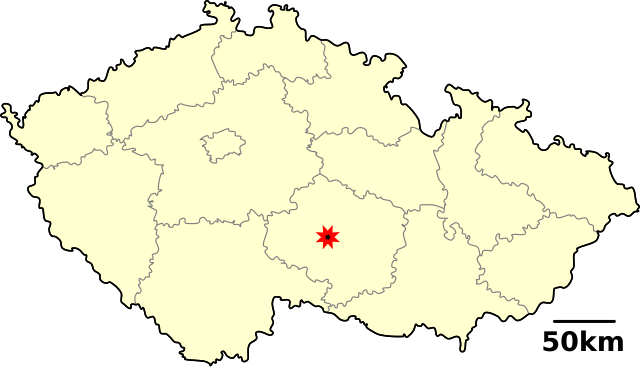
| Description | Location map of the Czech town of Jihlava |
| Date | |
| Source | Own work (using template Image:(CZE)_template_with_map_overlay.svg) |
| Author | David Paloch (Caroig) |
| Permission (Reusing this file) |
Own work |
_template_with_map_overlay.svg&action=edit&redlink=1)
Licensing
| I, the copyright holder of this work, release this work into the public domain. This applies worldwide. In some countries this may not be legally possible; if so: I grant anyone the right to use this work for any purpose, without any conditions, unless such conditions are required by law. |
File history
Click on a date/time to view the file as it appeared at that time.
| Date/Time | Thumbnail | Dimensions | User | Comment | |
|---|---|---|---|---|---|
| current | 11:56, 18 December 2006 | | 3,417 × 1,956 (169 KB) | Caroig | {{Information | Description = Location map of the Czech town of Jihlava | Source = Own work (using template Image:(CZE)_template_with_map_overlay.svg) | Date = 2006-12-14 | Author = David Paloch User:Caroig | Permission = Own work }} [[Ca |
_template_with_map_overlay.svg&action=edit&redlink=1)
File usage
The following pages on the English Wikipedia use this file (pages on other projects are not listed):
Global file usage
The following other wikis use this file:
_-_location_map.svg)