
File:Khan Younis, Gaza Strip.svg

Size of this PNG preview of this SVG file: 190 × 234 pixels. Other resolutions: 195 × 240 pixels | 390 × 480 pixels | 623 × 768 pixels | 831 × 1,024 pixels | 1,663 × 2,048 pixels.
Original file (SVG file, nominally 190 × 234 pixels, file size: 5 KB)
| This is a file from the Wikimedia Commons. Information from its description page there is shown below. Commons is a freely licensed media file repository. You can help. |
Summary
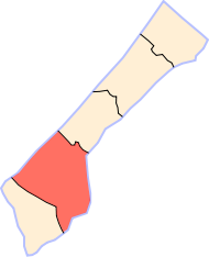
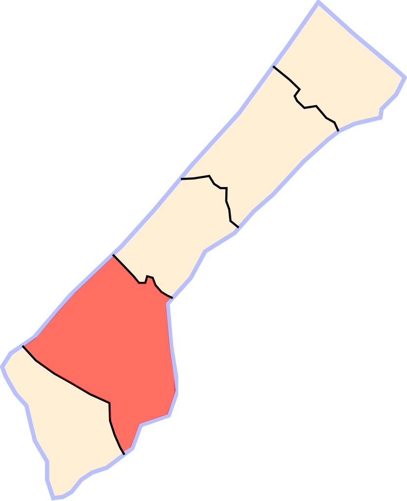
| Description | Location map of the Khan Younis Governorate — in the southern Gaza Strip of the Palestinian territories. | ||
| Date | |||
| Source | Own work | ||
| Author | User:MKay | ||
| Permission (Reusing this file) |
|
Licensing
| I, the copyright holder of this work, release this work into the public domain. This applies worldwide. In some countries this may not be legally possible; if so: I grant anyone the right to use this work for any purpose, without any conditions, unless such conditions are required by law. |
File history
Click on a date/time to view the file as it appeared at that time.
| Date/Time | Thumbnail | Dimensions | User | Comment | |
|---|---|---|---|---|---|
| current | 20:37, 10 March 2007 | | 190 × 234 (5 KB) | MKay | {{Information |Description=Location of Khan Younis, Gaza Strip. |Source=Own work. |Date=March 10, 2007 |Author=User:MKay |Permission={{PD-self}} |other_versions= }} |
File usage
The following pages on the English Wikipedia use this file (pages on other projects are not listed):
Global file usage
The following other wikis use this file:
- Usage on ar.wikipedia.org
- Usage on fa.wikipedia.org
- Usage on nn.wikipedia.org
- Usage on ur.wikipedia.org