
File:KingsWoodSomerset.jpg
Size of this preview: 800 × 599 pixels. Other resolutions: 320 × 239 pixels | 640 × 479 pixels | 1,024 × 766 pixels | 1,280 × 958 pixels | 2,288 × 1,712 pixels.
Original file (2,288 × 1,712 pixels, file size: 737 KB, MIME type: image/jpeg)
| This is a file from the Wikimedia Commons. Information from its description page there is shown below. Commons is a freely licensed media file repository. You can help. |
Summary
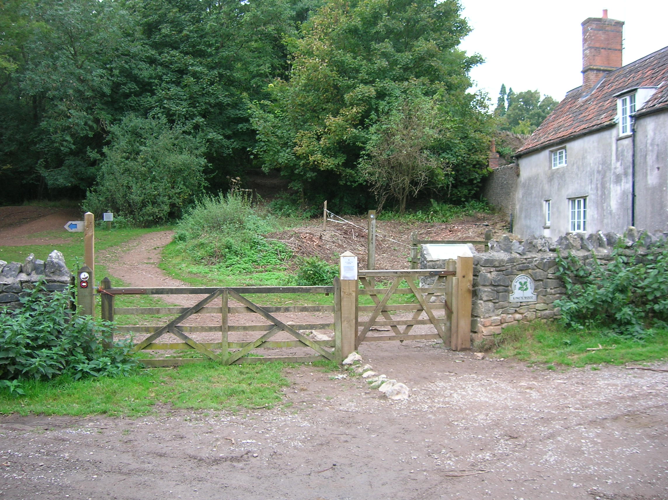
| Description | Entrance to King's Wood in the Mendip Hills near Winscombe and Axbridge in Somerset, England |
| Date | |
| Source | Own work |
| Author | Cheesy mike |
| Camera location | | View this and other nearby images on: OpenStreetMap |
|---|
Licensing
| I, the copyright holder of this work, release this work into the public domain. This applies worldwide. In some countries this may not be legally possible; if so: I grant anyone the right to use this work for any purpose, without any conditions, unless such conditions are required by law. |
File history
Click on a date/time to view the file as it appeared at that time.
| Date/Time | Thumbnail | Dimensions | User | Comment | |
|---|---|---|---|---|---|
| current | 13:03, 2 October 2007 | | 2,288 × 1,712 (737 KB) | Cheesy mike~commonswiki | {{Information |Description= Entrance to King's Wood near Winscombe and Axbridge in Somerset, England |Source=self-made |Date= 30 September 2007 |Author= Cheesy mike }} |
File usage
The following pages on the English Wikipedia use this file (pages on other projects are not listed):