
File:Lae.png

Size of this preview: 800 × 423 pixels. Other resolutions: 320 × 169 pixels | 640 × 339 pixels | 1,143 × 605 pixels.
Original file (1,143 × 605 pixels, file size: 737 KB, MIME type: image/png)
| This is a file from the Wikimedia Commons. Information from its description page there is shown below. Commons is a freely licensed media file repository. You can help. |
Summary
| Description |
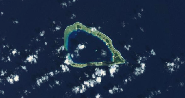
Français : Image satellite de l'atoll de Lae dans les Îles Marshall. |
| Date | Unknown date |
| Source | http://explorer.worldwind.earth/?layers=Blue%20Marble%20%26%20Landsat&lat=8.9346514&lon=166.2413188&alt=27333.22&heading=0&tilt=0&roll=0 |
| Author | NASA |
Licensing
| This image is in the public domain because it is a screenshot from NASA’s globe software World Wind using a public domain layer, such as Blue Marble, MODIS, Landsat, SRTM, USGS or GLOBE.
|
 |
File history
Click on a date/time to view the file as it appeared at that time.
| Date/Time | Thumbnail | Dimensions | User | Comment | |
|---|---|---|---|---|---|
| current | 13:07, 18 May 2018 | | 1,143 × 605 (737 KB) | Bastenbas | User created page with UploadWizard |
File usage
No pages on the English Wikipedia use this file (pages on other projects are not listed).
Global file usage
The following other wikis use this file:
- Usage on fr.wikipedia.org