
File:Line2823 - Flickr - NOAA Photo Library.jpg
Size of this preview: 800 × 533 pixels. Other resolutions: 320 × 213 pixels | 640 × 427 pixels | 1,024 × 683 pixels | 1,280 × 853 pixels | 2,448 × 1,632 pixels.
Original file (2,448 × 1,632 pixels, file size: 1.06 MB, MIME type: image/jpeg)
| This is a file from the Wikimedia Commons. Information from its description page there is shown below. Commons is a freely licensed media file repository. You can help. |
Summary
| Description |
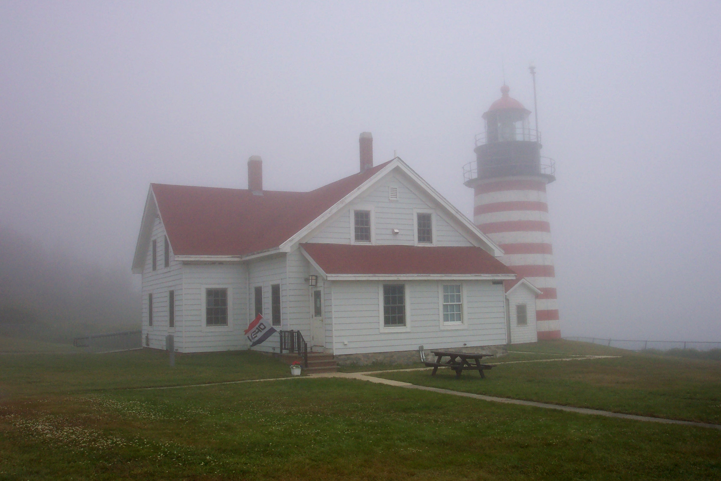
English: West Quoddy Head Lighthouse, the easternmost point in the contiguous United States. West Quoddy Head, Maine. |
| Date | |
| Source | NOAA Photo Library: line2823 |
| Author | Michael Theberge, Maine Maritime Academy. |
Licensing
This file is licensed under the Creative Commons Attribution 2.0 Generic license.
- You are free:
- to share – to copy, distribute and transmit the work
- to remix – to adapt the work
- Under the following conditions:
- attribution – You must give appropriate credit, provide a link to the license, and indicate if changes were made. You may do so in any reasonable manner, but not in any way that suggests the licensor endorses you or your use.
| This image was originally posted to Flickr by NOAA Photo Library at https://www.flickr.com/photos/51647007@N08/5014215021. It was reviewed on 3 January 2013 by FlickreviewR and was confirmed to be licensed under the terms of the cc-by-2.0. |
This image is in the public domain because it contains materials that originally came from the U.S. National Oceanic and Atmospheric Administration, taken or made as part of an employee's official duties.
|
File history
Click on a date/time to view the file as it appeared at that time.
| Date/Time | Thumbnail | Dimensions | User | Comment | |
|---|---|---|---|---|---|
| current | 06:43, 10 January 2012 | | 2,448 × 1,632 (1.06 MB) | Kobac | {{Information |Description=West Quoddy Head Lighthouse, the easternmost point in the contiguous United States. West Quoddy Head, Maine. Photographer: Michael Theberge, Maine Maritime Academy. |Source=[http://www.flickr.com/photos/noaaphotolib/5014215021/ |
File usage
The following pages on the English Wikipedia use this file (pages on other projects are not listed):