
File:Lympstone Commando Training Centre across the mudflats - geograph.org.uk - 4294566.jpg
Size of this preview: 800 × 600 pixels. Other resolutions: 320 × 240 pixels | 640 × 480 pixels | 1,024 × 768 pixels | 1,280 × 960 pixels | 1,600 × 1,200 pixels.
Original file (1,600 × 1,200 pixels, file size: 1.47 MB, MIME type: image/jpeg)
| This is a file from the Wikimedia Commons. Information from its description page there is shown below. Commons is a freely licensed media file repository. You can help. |
Summary
| Description |
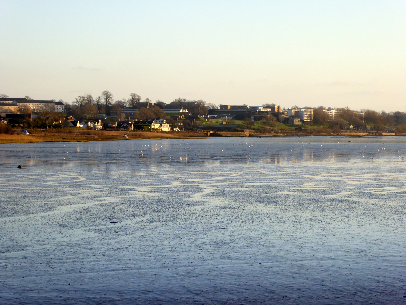
English: Looking from the RSPB viewing platform at Bowling Green Marsh, Topsham. The platform is on the edge of the River Clyst, which is a tributary of the River Exe close to Topsham. The houses to the left of the picture are at Exton |
| Date | |
| Source | https://www.geograph.org.uk/photo/4294566 |
| Author | David Smith |
| Attribution (required by the license) | David Smith / Lympstone Commando Training Centre across the mudflats / |
| Camera location | | View this and other nearby images on: OpenStreetMap |
|---|
_region:GB-GBN_heading:135.00&language=en)
| Object location | | View this and other nearby images on: OpenStreetMap |
|---|
_region:GB-GBN_heading:135.00&language=en)
Licensing

|
This image was taken from the Geograph project collection. See this photograph's page on the Geograph website for the photographer's contact details. The copyright on this image is owned by David Smith and is licensed for reuse under the Creative Commons Attribution-ShareAlike 2.0 license.
|
This file is licensed under the Creative Commons Attribution-Share Alike 2.0 Generic license.
Attribution: David Smith
- You are free:
- to share – to copy, distribute and transmit the work
- to remix – to adapt the work
- Under the following conditions:
- attribution – You must give appropriate credit, provide a link to the license, and indicate if changes were made. You may do so in any reasonable manner, but not in any way that suggests the licensor endorses you or your use.
- share alike – If you remix, transform, or build upon the material, you must distribute your contributions under the same or compatible license as the original.
File history
Click on a date/time to view the file as it appeared at that time.
| Date/Time | Thumbnail | Dimensions | User | Comment | |
|---|---|---|---|---|---|
| current | 11:30, 21 July 2021 | | 1,600 × 1,200 (1.47 MB) | Geograph Update Bot | Higher-resolution version from Geograph |
| 11:14, 24 February 2021 |  | 1,024 × 768 (197 KB) | SmartyPants22 | Uploaded a work by [https://www.geograph.org.uk/profile/708 David Smith] from https://www.geograph.org.uk/photo/4294566 with UploadWizard |
File usage
The following pages on the English Wikipedia use this file (pages on other projects are not listed):