
File:MD-VA-WV tripoint in Potomac River.jpg
Size of this preview: 800 × 600 pixels. Other resolutions: 320 × 240 pixels | 640 × 480 pixels | 1,024 × 768 pixels | 1,280 × 960 pixels | 2,560 × 1,920 pixels | 4,288 × 3,216 pixels.
Original file (4,288 × 3,216 pixels, file size: 6.65 MB, MIME type: image/jpeg)
| This is a file from the Wikimedia Commons. Information from its description page there is shown below. Commons is a freely licensed media file repository. You can help. |
| Description |
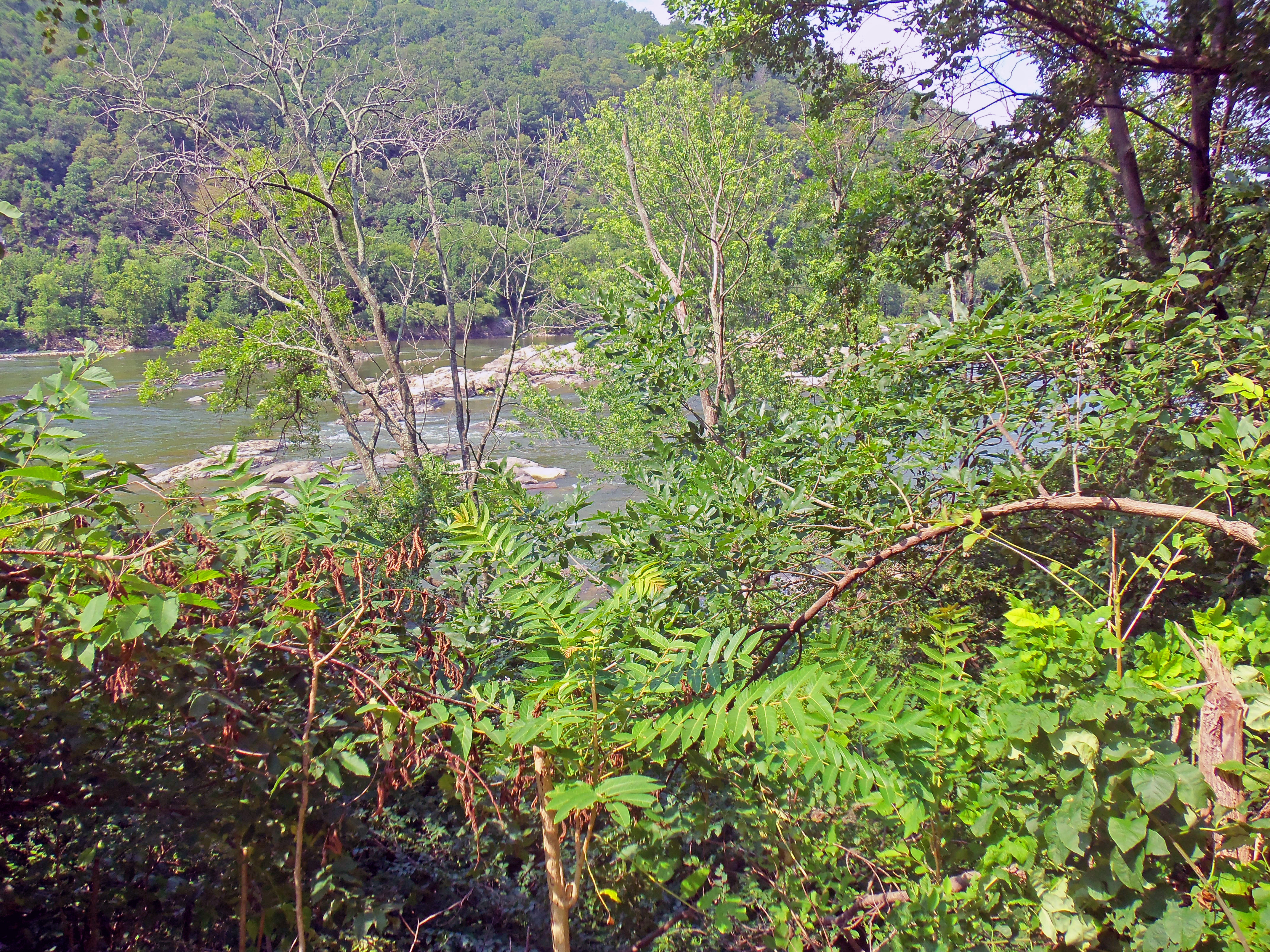
English: Potomac River taken from Virginia–West Virginia state line along U.S. 340, looking across to Maryland side. Tripoint of three states is actually in river just off shore on this side, since the state line is mean low water on Virginia side, and West Virginia inherited that border when it was created. The riverbank on this side is also the lowest, and easternmost, point in the state. |
||
| Date | |||
| Source | Own work | ||
| Author | Daniel Case | ||
| Permission (Reusing this file) |
I, the copyright holder of this work, hereby publish it under the following licenses:
This file is licensed under the Creative Commons Attribution-Share Alike 3.0 Unported license.
You may select the license of your choice. |

File history
Click on a date/time to view the file as it appeared at that time.
| Date/Time | Thumbnail | Dimensions | User | Comment | |
|---|---|---|---|---|---|
| current | 07:43, 27 January 2013 | | 4,288 × 3,216 (6.65 MB) | Slick-o-bot | Bot: convert to a non-interlaced jpeg (see bug #17645) |
| 03:32, 17 July 2012 |  | 4,288 × 3,216 (6.32 MB) | Daniel Case | {{Information |Description ={{en|1=Potomac River taken from Virginia–West Virginia state line along U.S. 340, looking across to Maryland side. [[w:Tripoint|... |
File usage
The following pages on the English Wikipedia use this file (pages on other projects are not listed):
Global file usage
The following other wikis use this file:
- Usage on ja.wikipedia.org