
File:Map Mueglitztalbahn.png

No higher resolution available.
Map_Mueglitztalbahn.png (728 × 570 pixels, file size: 552 KB, MIME type: image/png)
| This is a file from the Wikimedia Commons. Information from its description page there is shown below. Commons is a freely licensed media file repository. You can help. |
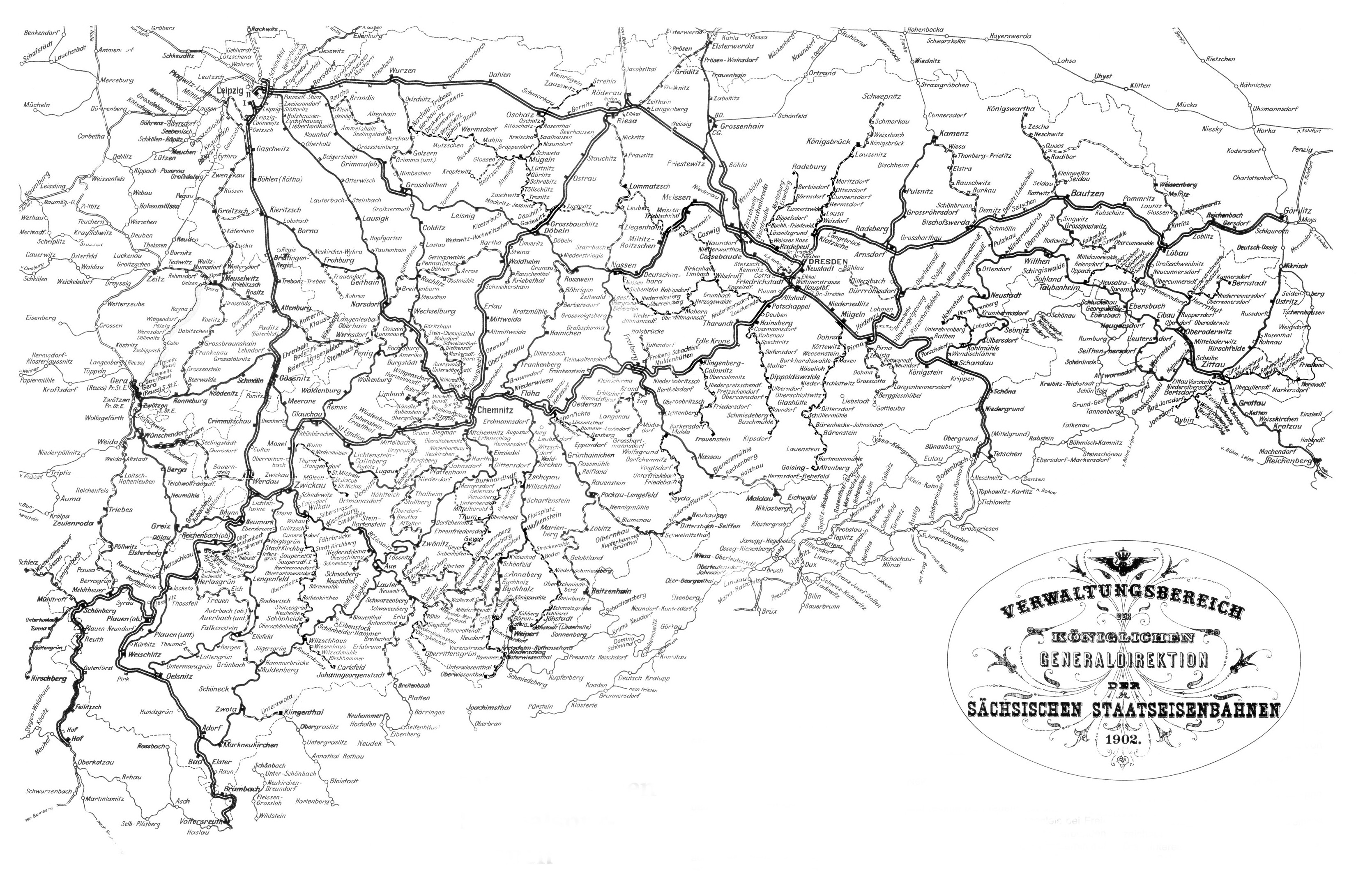
Summary
| Description |
English: diagram of the w:en:Müglitz Valley Railway |
| Date | |
| Source |
 |
| Author | amtliche Streckenkarte der Königlich Sächsischen Staatseisenbahnen, artwork by w:en:user:Captndelta |
Licensing
|
This work is in the public domain in its country of origin and other countries and areas where the copyright term is the author's life plus 70 years or fewer. | |
| This file has been identified as being free of known restrictions under copyright law, including all related and neighboring rights. | |
File history
Click on a date/time to view the file as it appeared at that time.
| Date/Time | Thumbnail | Dimensions | User | Comment | |
|---|---|---|---|---|---|
| current | 00:55, 2 May 2009 | | 728 × 570 (552 KB) | Captndelta | {{Information |Description={{en|1=diagram of the w:en:Müglitz Valley Railway}} |Source=thumb|left|[[Media:Streckennetz Sachsen 1902.png]] |Author=amtliche Streckenkarte der Königlich Sächsischen Staatseisenba |
File usage
The following pages on the English Wikipedia use this file (pages on other projects are not listed):
Global file usage
The following other wikis use this file:
- Usage on cs.wikipedia.org
- Usage on de.wikipedia.org
- Usage on nl.wikipedia.org
- Usage on pl.wikipedia.org
- Usage on www.wikidata.org