
File:Metrolink route map.svg

Size of this PNG preview of this SVG file: 800 × 557 pixels. Other resolutions: 320 × 223 pixels | 640 × 446 pixels | 1,024 × 714 pixels | 1,280 × 892 pixels | 2,560 × 1,784 pixels | 1,425 × 993 pixels.
Original file (SVG file, nominally 1,425 × 993 pixels, file size: 1.54 MB)
| This is a file from the Wikimedia Commons. Information from its description page there is shown below. Commons is a freely licensed media file repository. You can help. |
| Description |
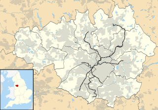
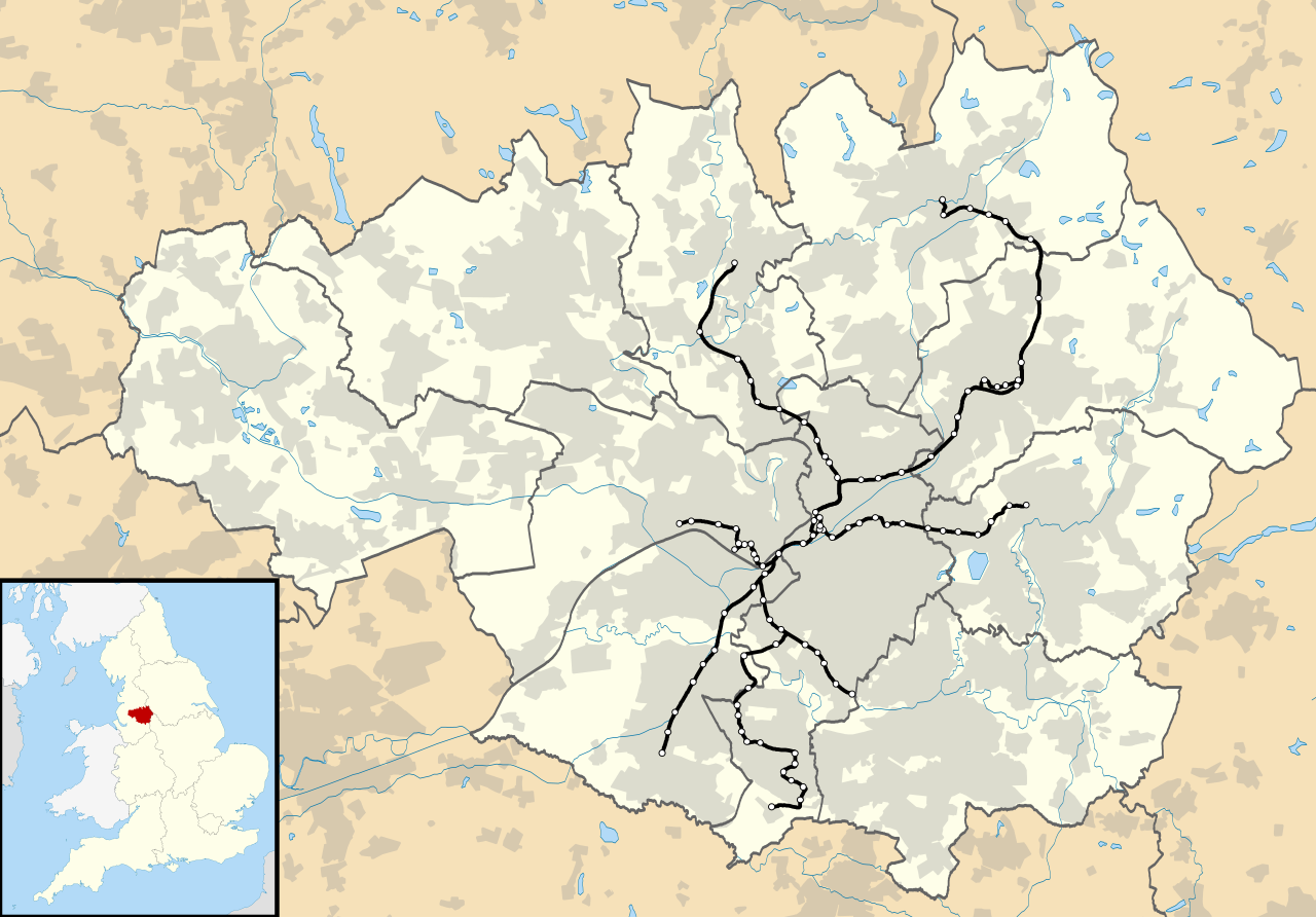
Map of Greater Manchester, UK with the Metrolink network shown. The map shows all routes due to be completed by the Phase 3 expansion, plus the Second City Crossing. |
| Date | |
| Source |
|
| Author | Nilfanion, created using Ordnance Survey data |
| Permission (Reusing this file) |
This file is licensed under the Creative Commons Attribution-Share Alike 3.0 Unported license. Attribution: Contains Ordnance Survey data © Crown copyright and database right
|
File history
Click on a date/time to view the file as it appeared at that time.
| Date/Time | Thumbnail | Dimensions | User | Comment | |
|---|---|---|---|---|---|
| current | 00:14, 6 February 2013 | | 1,425 × 993 (1.54 MB) | Nilfanion | update to show stations |
| 13:57, 4 February 2013 |  | 1,425 × 993 (1.5 MB) | Nilfanion | {{Information |Description=Map of Greater Manchester, UK with the Metrolink network shown. The map shows all routes due to be completed by the Phase 3 expansion, plus the Second City Crossing. |Source=[[w:Ordnance Survey|Ordna... |
File usage
The following pages on the English Wikipedia use this file (pages on other projects are not listed):
Global file usage
The following other wikis use this file:
- Usage on si.wikipedia.org