
File:Mr Matte KML map Southeast.png

Size of this preview: 800 × 533 pixels. Other resolutions: 320 × 213 pixels | 640 × 426 pixels | 1,024 × 682 pixels | 1,280 × 852 pixels | 2,635 × 1,754 pixels.
Original file (2,635 × 1,754 pixels, file size: 803 KB, MIME type: image/png)
 | This English Wikipedia-specific image or media file should not be copied to Wikimedia Commons. While the license of this work may be compliant with Commons, its usefulness outside the English Wikipedia is unlikely. It should not be copied to Commons unless a specific significant cross-wiki use can be demonstrated. |  |
| Description |
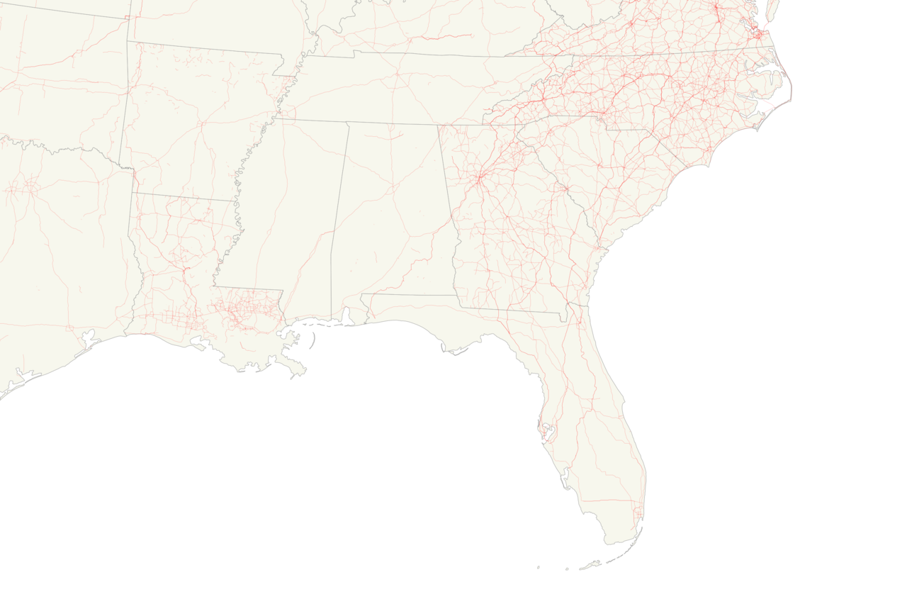
A map showing all of the KML files in the Mid Atlantic of the United States I've either created or have had a major involvement in making as of June 29, 2016 | ||
|---|---|---|---|
| Source |
Own work
| ||
| Date |
2016-06-29 | ||
| Author | |||
| Permission (Reusing this file) |
You really have no need to use this anywhere else but see below anyway
|
Licensing:[edit]
I, the copyright holder of this work, hereby publish it under the following licenses:
 | Permission is granted to copy, distribute and/or modify this document under the terms of the GNU Free Documentation License, Version 1.2 or any later version published by the Free Software Foundation; with no Invariant Sections, no Front-Cover Texts, and no Back-Cover Texts. |
| This file is licensed under the Creative Commons Attribution-ShareAlike license versions 3.0, 2.5, 2.0, and 1.0. |
You may select the license of your choice.
File history
Click on a date/time to view the file as it appeared at that time.
| Date/Time | Thumbnail | Dimensions | User | Comment | |
|---|---|---|---|---|---|
| current | 18:13, 2 January 2018 | | 2,635 × 1,754 (803 KB) | Mr. Matté (talk | contribs) | As of Jan 1, 2018 |
| 02:27, 30 June 2016 |  | 2,635 × 1,754 (823 KB) | Mr. Matté (talk | contribs) | {{esoteric file}} {{Information |Description=A map showing all of the KML files in the Mid Atlantic of the United States I've either created or have had a major involvement in making as of June 29, 2016 |Source={{own}}{{inkscape}} |Date=2016-06-29 |Aut... |
You cannot overwrite this file.
File usage
The following pages on the English Wikipedia use this file (pages on other projects are not listed):