
File:Murray-Sunset National Park and Hattah-Kulkyne National Park.jpg
No higher resolution available.
Murray-Sunset_National_Park_and_Hattah-Kulkyne_National_Park.jpg (736 × 561 pixels, file size: 102 KB, MIME type: image/jpeg)
| This is a file from the Wikimedia Commons. Information from its description page there is shown below. Commons is a freely licensed media file repository. You can help. |
Summary
| Description |
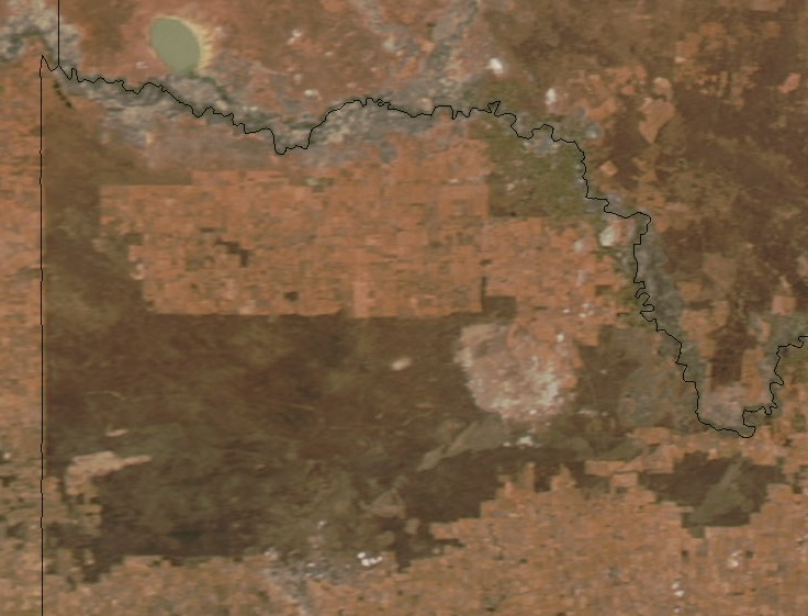
English: Satellite view of Murray-Sunset National Park (left) and Hattah-Kulkyne National Park (right) in Victoria. The light-colored roughly circular area between the two is the Raak Plain Boinka. The Murray river runs from southeast to northwest (left/top). |
| Date | |
| Source | https://earthobservatory.nasa.gov/IOTD/view.php?id=3973 (cropped) |
| Author | NASA |
Licensing
| This file is in the public domain in the United States because it was solely created by NASA. NASA copyright policy states that "NASA material is not protected by copyright unless noted". (See Template:PD-USGov, NASA copyright policy page or JPL Image Use Policy.) | ||
 |
Warnings:
|
File history
Click on a date/time to view the file as it appeared at that time.
| Date/Time | Thumbnail | Dimensions | User | Comment | |
|---|---|---|---|---|---|
| current | 11:25, 11 June 2018 | | 736 × 561 (102 KB) | Aymatth2 | User created page with UploadWizard |
File usage
The following pages on the English Wikipedia use this file (pages on other projects are not listed):