
File:Newfoundland1744.jpg

Size of this preview: 800 × 483 pixels. Other resolutions: 320 × 193 pixels | 640 × 387 pixels | 1,024 × 619 pixels | 1,284 × 776 pixels.
Original file (1,284 × 776 pixels, file size: 559 KB, MIME type: image/jpeg)
| This is a file from the Wikimedia Commons. Information from its description page there is shown below. Commons is a freely licensed media file repository. You can help. |
Summary
| Description |
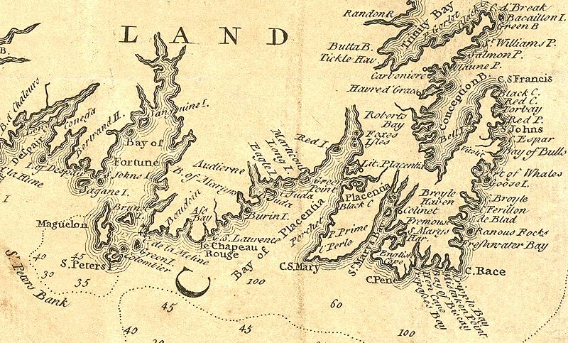
English: Extract from a 1746 map depicting southeastern Newfoundland. In addition to crop for selection, image has had levels and colors adjusted to improve contrast. |
| Date | |
| Source | Boston Public Library Norman Leventhal Map Center: http://maps.bpl.org/details_14079/ |
| Author | Jacques Bellin |
Licensing
|
This work is in the public domain in its country of origin and other countries and areas where the copyright term is the author's life plus 100 years or fewer. | |
| This file has been identified as being free of known restrictions under copyright law, including all related and neighboring rights. | |
File history
Click on a date/time to view the file as it appeared at that time.
| Date/Time | Thumbnail | Dimensions | User | Comment | |
|---|---|---|---|---|---|
| current | 02:02, 6 April 2010 | | 1,284 × 776 (559 KB) | Magicpiano | {{Information |Description={{en|1=Extract from a 1746 map depicting southeastern w:Newfoundland (island). In addition to crop for selection, image has had levels and colors adjusted to improve contrast. }} |Source=Boston Public Library Norman Leven |
File usage
The following pages on the English Wikipedia use this file (pages on other projects are not listed):
Global file usage
The following other wikis use this file:
- Usage on ar.wikipedia.org
- Usage on fi.wikipedia.org
- Usage on fr.wikipedia.org
- Usage on it.wikipedia.org
- Usage on ja.wikipedia.org
- Usage on nn.wikipedia.org
- Usage on no.wikipedia.org
- Usage on ru.wikipedia.org
- Usage on www.wikidata.org
- Usage on zh.wikipedia.org