
File:Old Highway 46.png
Size of this preview: 800 × 600 pixels. Other resolutions: 320 × 240 pixels | 640 × 480 pixels | 1,024 × 768 pixels | 1,280 × 960 pixels | 2,560 × 1,920 pixels | 3,264 × 2,448 pixels.
Original file (3,264 × 2,448 pixels, file size: 12.23 MB, MIME type: image/png)
| This is a file from the Wikimedia Commons. Information from its description page there is shown below. Commons is a freely licensed media file repository. You can help. |
Summary
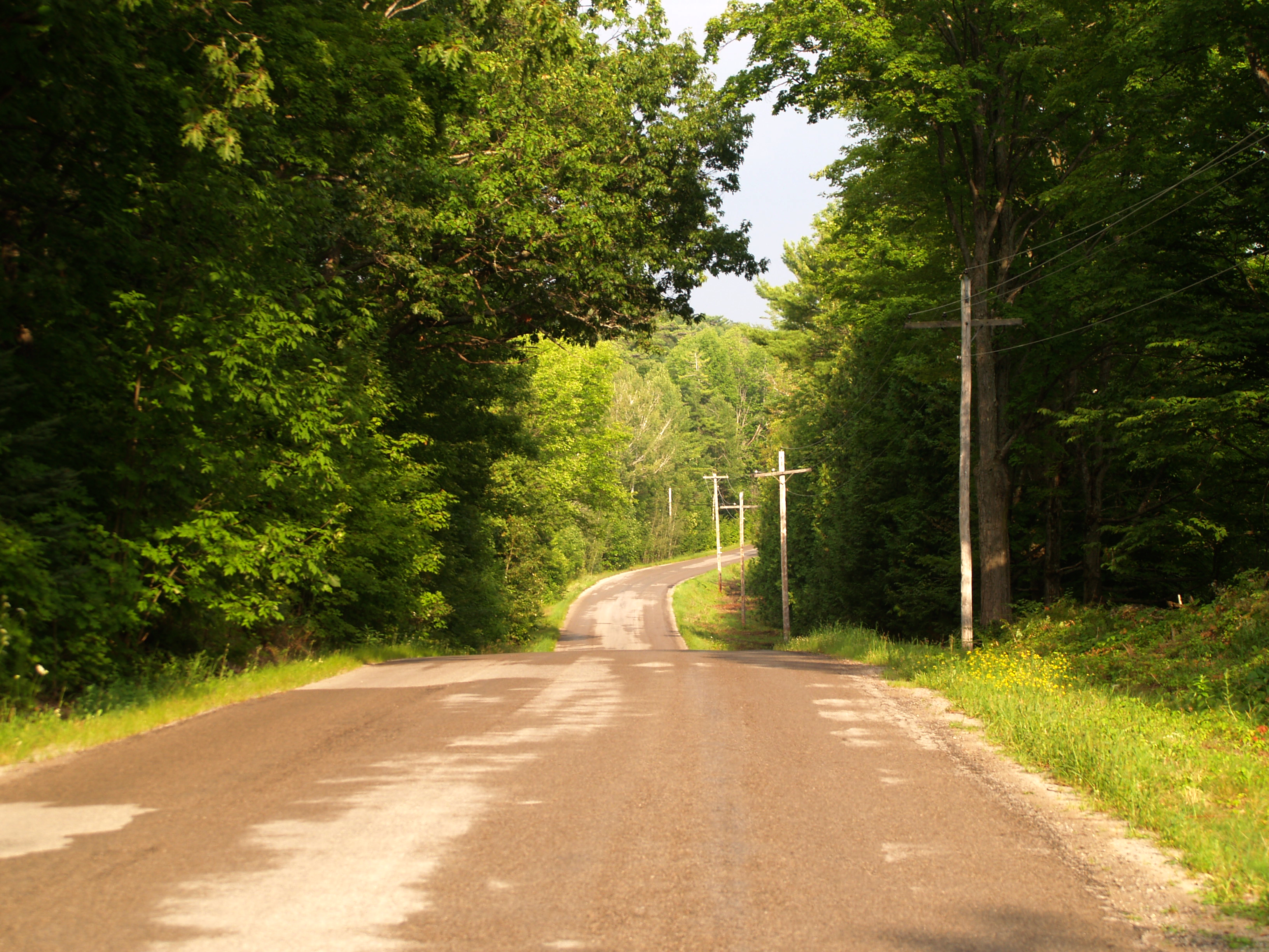
| Description | The former route of Ontario Highway 46 until June 28, 1967, when a bypass opened further inland from Balsam Lake. This new route would become part of Highway 48 in 1975. The route pictured simply became known as West Bay Drive. |
| Date | |
| Source | Own work |
| Author | Floydian (talk) |
Licensing
This file is licensed under the Creative Commons Attribution-Share Alike 3.0 Unported license.
- You are free:
- to share – to copy, distribute and transmit the work
- to remix – to adapt the work
- Under the following conditions:
- attribution – You must give appropriate credit, provide a link to the license, and indicate if changes were made. You may do so in any reasonable manner, but not in any way that suggests the licensor endorses you or your use.
- share alike – If you remix, transform, or build upon the material, you must distribute your contributions under the same or compatible license as the original.
File history
Click on a date/time to view the file as it appeared at that time.
| Date/Time | Thumbnail | Dimensions | User | Comment | |
|---|---|---|---|---|---|
| current | 17:48, 3 August 2010 | | 3,264 × 2,448 (12.23 MB) | Floydian | {{Information |Description=The former route of Ontario Highway 46 until June 28, 1967, when a bypass opened further inland from Balsam Lake. This new route would become part of Highway 48 in 1975. The route pictured simply became known as West Bay Drive. |
File usage
The following pages on the English Wikipedia use this file (pages on other projects are not listed):