
File:Regions of Somaliland.png
No higher resolution available.
Regions_of_Somaliland.png (800 × 522 pixels, file size: 48 KB, MIME type: image/png)
| This is a file from the Wikimedia Commons. Information from its description page there is shown below. Commons is a freely licensed media file repository. You can help. |

|
This locator map image could be re-created using vector graphics as an SVG file. This has several advantages; see Commons:Media for cleanup for more information. If an SVG form of this image is available, please upload it and afterwards replace this template with
{{vector version available|new image name}}.
It is recommended to name the SVG file “Regions of Somaliland.svg”—then the template Vector version available (or Vva) does not need the new image name parameter. |
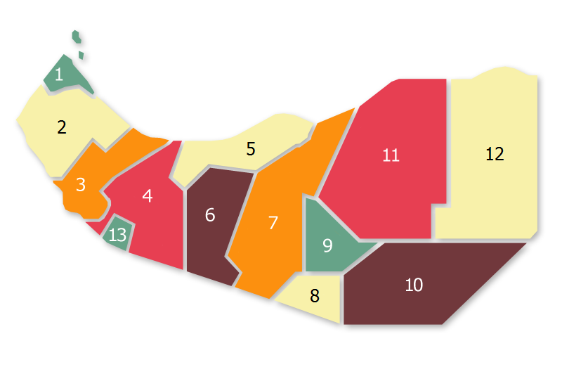
Summary
| Description |
Regional Map of Somaliland, based on:  |
||
| Date | |||
| Source | I (AniRaptor2001 (talk)) created this work entirely by myself. | ||
| Author | AniRaptor2001 (Transferred to WikiCOmmons from English Wiki by Zac allan (talk)) | ||
| Permission (Reusing this file) |
|
File history
Click on a date/time to view the file as it appeared at that time.
| Date/Time | Thumbnail | Dimensions | User | Comment | |
|---|---|---|---|---|---|
| current | 17:56, 20 June 2020 | | 800 × 522 (48 KB) | Chipmunkdavis | Reverted to version as of 03:02, 10 January 2017 (UTC) This is a map of administrative regions not local sentiment |
| 15:20, 20 June 2020 |  | 800 × 522 (56 KB) | Meelpringthusss | Central Isaaq-inhabited areas support Somaliland ; eastern harti-inhabited areas mock Somaliland - Big Difference!! File_talk:Somalia_map_states_regions_districts.png#There_is_nuance_with_regards_to_control | |
| 12:08, 19 June 2020 |  | 800 × 522 (48 KB) | Chipmunkdavis | Reverted to version as of 03:02, 10 January 2017 (UTC) The entirety of Somalilland is disputed territory | |
| 16:53, 17 June 2020 |  | 800 × 522 (56 KB) | Meelpringthusss | highlighted disputed area | |
| 03:02, 10 January 2017 |  | 800 × 522 (48 KB) | Srittau | Reverted to version as of 18:22, 30 November 2011 (UTC) | |
| 02:32, 10 January 2017 |  | 800 × 522 (53 KB) | AlaskaLava | The 6 Somaliland Regions: The following regions are taken from 1. "Micheal Walls: State Formation in Somaliland: Bringing Deliberation to Institutionalism" from 2011, page 193 [http://discovery.ucl.ac.uk/1302550/1/1302550.pdf] 2. Political study on... | |
| 18:22, 30 November 2011 |  | 800 × 522 (48 KB) | Nicolay Sidorov | change font colour for yellow background (for more contrast) | |
| 14:43, 26 July 2009 |  | 800 × 522 (49 KB) | Zac Allan | == Summary == {{Information |Description = Regional Map of Somaliland, based on: <br> thumb|left |Source = I (AniRaptor2001 (talk)) created this wor |
File usage
The following pages on the English Wikipedia use this file (pages on other projects are not listed):
Global file usage
The following other wikis use this file:
- Usage on cs.wikipedia.org
- Usage on de.wikipedia.org
- Usage on en.wikibooks.org
- Usage on eu.wikipedia.org
- Usage on ja.wikipedia.org
- Usage on li.wikipedia.org
- Usage on os.wikipedia.org
- Usage on ru.wikipedia.org
- Usage on so.wikipedia.org
- Usage on sv.wikipedia.org
- Usage on uk.wikipedia.org
- Usage on xmf.wikipedia.org