
File:Rooftops of Matlock - geograph.org.uk (geograph 2551257) (cropped).jpg
Size of this preview: 800 × 412 pixels. Other resolutions: 320 × 165 pixels | 640 × 330 pixels | 1,024 × 528 pixels | 1,730 × 892 pixels.
Original file (1,730 × 892 pixels, file size: 798 KB, MIME type: image/jpeg)
| This is a file from the Wikimedia Commons. Information from its description page there is shown below. Commons is a freely licensed media file repository. You can help. |
_(cropped).jpg)
Summary
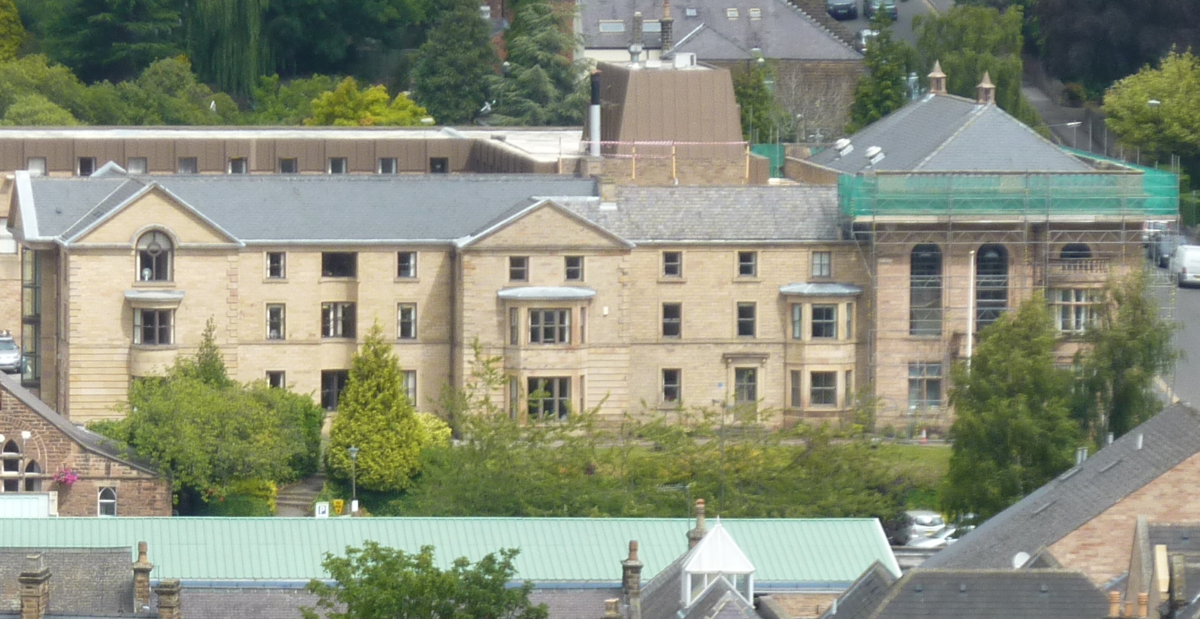
| Description | Matlock Town Hall |
| Date | |
| Source |
This file was derived from: Rooftops of Matlock - geograph.org.uk - 2551257.jpg |
| Author | Peter Barr |
| Permission (Reusing this file) |
This file is licensed under the Creative Commons Attribution-Share Alike 2.0 Generic license. Attribution: Peter Barr
|
| Attribution (required by the license) | Peter Barr / Rooftops of Matlock / |
| Camera location | | View this and other nearby images on: OpenStreetMap |
|---|
_(cropped).jpg¶ms=053.136830_N_-001.558900_E_globe:Earth_type:camera_source:geograph-osgb36(SK29606005)_region:GB-ENG_heading:45.00&language=en)
| Object location | | View this and other nearby images on: OpenStreetMap |
|---|
_(cropped).jpg¶ms=053.137460_N_-001.557300_E_globe:Earth_class:object_type:object_source:geograph-osgb36(SK29716012)_region:GB-ENG_heading:45.00&language=en)
| This is a retouched picture, which means that it has been digitally altered from its original version. Modifications: cropped. The original can be viewed here: Rooftops of Matlock - geograph.org.uk - 2551257.jpg:
|
File history
Click on a date/time to view the file as it appeared at that time.
| Date/Time | Thumbnail | Dimensions | User | Comment | |
|---|---|---|---|---|---|
| current | 22:27, 12 December 2023 | | 1,730 × 892 (798 KB) | Bjh21 | Re-cropped from a higher-resolution version: File:Rooftops of Matlock - geograph.org.uk - 2551257.jpg cropped 53 % horizontally, 67 % vertically using CropTool with lossless mode. |
| 15:00, 31 December 2021 |  | 380 × 196 (46 KB) | Dormskirk | {{Information |Description =Matlock Town Hall |Source =*File:Rooftops of Matlock - geograph.org.uk - 2551257.jpg |Author =Peter Barr |Date =8 August 2011 |Permission ={{PD-user|Peter Barr}} |other_versions = }} {{RetouchedPicture|cropped|editor=Dormskirk|orig=Rooftops of Matlock - geograph.org.uk - 2551257.jpg}} Category:Matlock Town Hall |
File usage
The following pages on the English Wikipedia use this file (pages on other projects are not listed):
_(cropped).jpg)