
File:Sand and gravel extraction site - geograph.org.uk - 923943.jpg
No higher resolution available.
Sand_and_gravel_extraction_site_-_geograph.org.uk_-_923943.jpg (640 × 480 pixels, file size: 174 KB, MIME type: image/jpeg)
| This is a file from the Wikimedia Commons. Information from its description page there is shown below. Commons is a freely licensed media file repository. You can help. |
Summary
| Description |
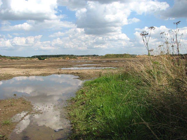
English: Sand and gravel extraction site. By Salters Lane. This gravel extraction site extends all the way along Salters Lane > 923914 until it meets Reed Lane > 923955 further to the east. Signs put up by the entrances warn that this site is not a play area > 923934. This area forms part of what used to be the parish of Launditch.
Launditch (the original spelling is Launditcth) is described in White's History, Gazetteer and Directory of Norfolk (1845) as being "of an irregular, quadrangular figure, averaging about 12 miles in length and breadth, and bounded on the north by Gallow, on the east by Eynesford, on the south by Mitford and South Greenhoe, and on the west by Freebridge-Lynn Hundred. It is a highly cultivated district, rising in some places in bold and picturesque swells, with many thriving plantations and handsome mansions, and watered by the Wensum, the Nar, and several smaller streams, which rise within its limits. It takes its name from a long ditch and bank extending from Wendling-car to the low lands near Mileham, and supposed to have been made for the purpose of carrying off the drain water. At the point where this ditch crosses the Norwich road, the Hundred court was anciently held. Launditch, (with the exception of Colkirk and Hoe) forms the Deanery of Brisley, in the Archdeaconry of Norwich." |
| Date | |
| Source | From geograph.org.uk |
| Author | Evelyn Simak |
| Attribution (required by the license) | Evelyn Simak / Sand and gravel extraction site / |
| Camera location | | View this and other nearby images on: OpenStreetMap |
|---|
_heading:90.00&language=en)
| Object location | | View this and other nearby images on: OpenStreetMap |
|---|
_heading:90.00&language=en)
Licensing

|
This image was taken from the Geograph project collection. See this photograph's page on the Geograph website for the photographer's contact details. The copyright on this image is owned by Evelyn Simak and is licensed for reuse under the Creative Commons Attribution-ShareAlike 2.0 license.
|
This file is licensed under the Creative Commons Attribution-Share Alike 2.0 Generic license.
Attribution: Evelyn Simak
- You are free:
- to share – to copy, distribute and transmit the work
- to remix – to adapt the work
- Under the following conditions:
- attribution – You must give appropriate credit, provide a link to the license, and indicate if changes were made. You may do so in any reasonable manner, but not in any way that suggests the licensor endorses you or your use.
- share alike – If you remix, transform, or build upon the material, you must distribute your contributions under the same or compatible license as the original.
File history
Click on a date/time to view the file as it appeared at that time.
| Date/Time | Thumbnail | Dimensions | User | Comment | |
|---|---|---|---|---|---|
| current | 03:57, 22 February 2011 | | 640 × 480 (174 KB) | GeographBot | == {{int:filedesc}} == {{Information |description={{en|1=Sand and gravel extraction site By Salters Lane. This gravel extraction site extends all the way along Salters Lane > http://www.geograph.org.uk/photo/923914 until it meets Reed Lane > http://www.ge |
File usage
The following pages on the English Wikipedia use this file (pages on other projects are not listed):
Global file usage
The following other wikis use this file:
- Usage on ceb.wikipedia.org
- Usage on cy.wikipedia.org
- Usage on pl.wikipedia.org
- Usage on tr.wikipedia.org
- Usage on www.wikidata.org