
File:Scholes International Airport at Galveston Terminal 2012.jpg
No higher resolution available.
Scholes_International_Airport_at_Galveston_Terminal_2012.jpg (562 × 398 pixels, file size: 300 KB, MIME type: image/jpeg)
| This is a file from the Wikimedia Commons. Information from its description page there is shown below. Commons is a freely licensed media file repository. You can help. |
Summary
| Camera location | | View this and other nearby images on: OpenStreetMap |
|---|
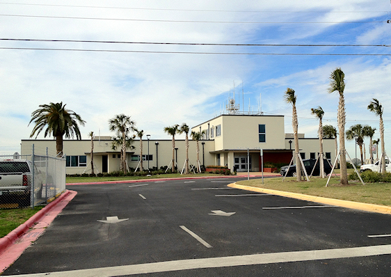
| Description |
English: Terminal Building at Scholes International Airport at Galveston, 2012. Building has been gutted and remodeled due to severe flood damage by Hurricane Ike in 2008. |
| Date | |
| Source | Own work |
| Author | Nsaum75 |

Licensing
I, the copyright holder of this work, hereby publish it under the following license:
This file is licensed under the Creative Commons Attribution-Share Alike 3.0 Unported license.
- You are free:
- to share – to copy, distribute and transmit the work
- to remix – to adapt the work
- Under the following conditions:
- attribution – You must give appropriate credit, provide a link to the license, and indicate if changes were made. You may do so in any reasonable manner, but not in any way that suggests the licensor endorses you or your use.
- share alike – If you remix, transform, or build upon the material, you must distribute your contributions under the same or compatible license as the original.
File history
Click on a date/time to view the file as it appeared at that time.
| Date/Time | Thumbnail | Dimensions | User | Comment | |
|---|---|---|---|---|---|
| current | 01:37, 30 January 2012 | | 562 × 398 (300 KB) | Nsaum75 |
File usage
The following pages on the English Wikipedia use this file (pages on other projects are not listed):
Global file usage
The following other wikis use this file:
- Usage on fa.wikipedia.org
- Usage on tg.wikipedia.org