
File:Sikorsky Memorial Airport CT.jpg
No higher resolution available.
Sikorsky_Memorial_Airport_CT.jpg (602 × 486 pixels, file size: 111 KB, MIME type: image/jpeg)
| This is a file from the Wikimedia Commons. Information from its description page there is shown below. Commons is a freely licensed media file repository. You can help. |
Summary
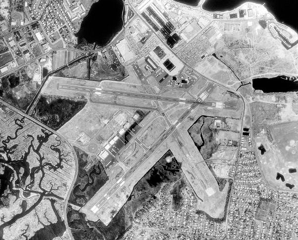
| Description | Aerial image of Sikorsky Memorial Airport in Bridgeport, Connecticut |
| Date | |
| Source | USGS The National Map, via MSR Maps (formerly TerraServer-USA) |
| Author | United States Geological Survey (USGS) |
| Permission (Reusing this file) |
Public domain |
Licensing
This image is in the public domain in the United States because it only contains materials that originally came from the United States Geological Survey, an agency of the United States Department of the Interior. For more information, see the official USGS copyright policy.
|
File history
Click on a date/time to view the file as it appeared at that time.
| Date/Time | Thumbnail | Dimensions | User | Comment | |
|---|---|---|---|---|---|
| current | 15:23, 22 April 2008 | | 602 × 486 (111 KB) | Bwmoll3 | {{Information |Description=Sikorsky Memorial Airport. Bridgeport CT |Source=US Geological Survey via Terraserver http://terraserver-usa.com/image.aspx?t=1&s=14&x=203&y=1425&z=18&w=1&qs=%7cBridgeport%7cCT |Date= 17 APR 1991 |Author=USGS |Permission=USGOV-P |
File usage
The following pages on the English Wikipedia use this file (pages on other projects are not listed):
Global file usage
The following other wikis use this file:
- Usage on arz.wikipedia.org
- Usage on ceb.wikipedia.org
- Usage on en.wikivoyage.org
- Usage on fa.wikipedia.org
- Usage on pt.wikipedia.org
- Usage on tg.wikipedia.org
- Usage on ur.wikipedia.org
- Usage on www.wikidata.org