
File:Tel-aviv area.svg

Size of this PNG preview of this SVG file: 800 × 518 pixels. Other resolutions: 320 × 207 pixels | 640 × 414 pixels | 1,024 × 663 pixels | 1,280 × 829 pixels | 2,560 × 1,658 pixels | 2,100 × 1,360 pixels.
Original file (SVG file, nominally 2,100 × 1,360 pixels, file size: 140 KB)
| This is a file from the Wikimedia Commons. Information from its description page there is shown below. Commons is a freely licensed media file repository. You can help. |
Summary
| Description |
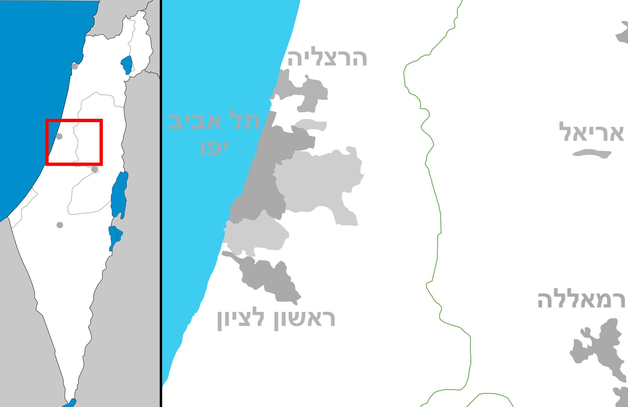
English: Map of Tel-aviv area (Israel)
עברית: מפה של אזור גוש דן |
| Date | (UTC) |
| Source | Own work |
| Author | Costello |
| Other versions | Derivative works of this file: Tel Aviv area 2.PNG |
Licensing
I, the copyright holder of this work, hereby publish it under the following licenses:
This file is licensed under the Creative Commons Attribution-Share Alike 3.0 Unported license.
- You are free:
- to share – to copy, distribute and transmit the work
- to remix – to adapt the work
- Under the following conditions:
- attribution – You must give appropriate credit, provide a link to the license, and indicate if changes were made. You may do so in any reasonable manner, but not in any way that suggests the licensor endorses you or your use.
- share alike – If you remix, transform, or build upon the material, you must distribute your contributions under the same or compatible license as the original.

|
Permission is granted to copy, distribute and/or modify this document under the terms of the GNU Free Documentation License, Version 1.2 or any later version published by the Free Software Foundation; with no Invariant Sections, no Front-Cover Texts, and no Back-Cover Texts. A copy of the license is included in the section entitled GNU Free Documentation License. |
You may select the license of your choice.
File history
Click on a date/time to view the file as it appeared at that time.
| Date/Time | Thumbnail | Dimensions | User | Comment | |
|---|---|---|---|---|---|
| current | 16:04, 2 October 2008 | | 2,100 × 1,360 (140 KB) | Costello | fix of the Dead sea south border |
| 14:41, 16 August 2008 |  | 2,100 × 1,360 (137 KB) | Costello | Category:SVG maps of Israel | |
| 14:40, 16 August 2008 |  | 2,100 × 1,360 (137 KB) | Costello | Category:SVG maps of Israel | |
| 14:39, 16 August 2008 |  | 2,100 × 1,360 (138 KB) | Costello | {{Information |Description={{en|1=Map of Tel-aviv area (Israel)}} {{he|1=מפה של איזור גוש דן}} |Source=Own work by uploader |Author=Costello |Date=~~~~~ |Permission= |other_versions= }} <!--{{ImageUpload|full}}--> [[Categ |
File usage
No pages on the English Wikipedia use this file (pages on other projects are not listed).
Global file usage
The following other wikis use this file:
- Usage on da.wikipedia.org
- Usage on he.wikipedia.org
- בית הספר לאמנויות תל אביב
- הארץ
- הטלוויזיה החינוכית הישראלית
- בית הסופר
- חולון
- שנקר (מכללה)
- ראשון לציון
- נען
- חורשים
- מגדל משה אביב
- זמן לאמנות
- מגדל שלום מאיר
- מכון ויצמן למדע
- כפר קאסם
- יבנה
- אור יהודה
- בני ברק
- בת ים
- הוד השרון
- יהוד
- לוד
- מודיעין-מכבים-רעות
- קריית אונו
- ראש העין
- רחובות
- רמלה
- רמת גן
- פלורנטין
- אורנית
- אזור
- אלעד
- אלקנה
- באר יעקב
- בית אריה-עופרים
- בית דגן
- גבעת שמואל
- ג'לג'וליה
- גני תקווה
- כפר ברא
- מודיעין עילית
- מזכרת בתיה
- מכבים-רעות
- סביון (יישוב)
- רמת השרון
- שוהם (יישוב)
- ספריית בית אריאלה
- צוותא
- מרכז סוזן דלל
- בית ציוני אמריקה
View more global usage of this file.