
File:Territorial changes of the Ottoman Empire 1812.jpg

Size of this preview: 794 × 600 pixels. Other resolutions: 318 × 240 pixels | 636 × 480 pixels | 1,017 × 768 pixels | 1,104 × 834 pixels.
Original file (1,104 × 834 pixels, file size: 433 KB, MIME type: image/jpeg)
| This is a file from the Wikimedia Commons. Information from its description page there is shown below. Commons is a freely licensed media file repository. You can help. |

|
This historical map image could be re-created using vector graphics as an SVG file. This has several advantages; see Commons:Media for cleanup for more information. If an SVG form of this image is available, please upload it and afterwards replace this template with
{{vector version available|new image name}}.
It is recommended to name the SVG file “Territorial changes of the Ottoman Empire 1812.svg”—then the template Vector version available (or Vva) does not need the new image name parameter. |


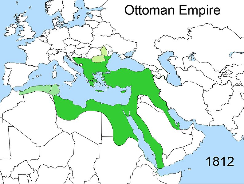
| Description | Territorial changes of the Ottoman Empire |
| Date | |
| Source | Own work |
| Author | Esemono |
| Permission (Reusing this file) |
Own work, all rights released (Public domain) |
| Other versions | Derivative works of this file: Territorial changes of the Ottoman Empire c1812-ca.JPG |

| I, the copyright holder of this work, release this work into the public domain. This applies worldwide. In some countries this may not be legally possible; if so: I grant anyone the right to use this work for any purpose, without any conditions, unless such conditions are required by law. |
File history
Click on a date/time to view the file as it appeared at that time.
| Date/Time | Thumbnail | Dimensions | User | Comment | |
|---|---|---|---|---|---|
| current | 00:02, 18 February 2020 | | 1,104 × 834 (433 KB) | Claude Zygiel | Other mistakes corrected |
| 21:45, 28 December 2014 |  | 1,104 × 834 (412 KB) | HistoryofIran | Corrected map; these regions were under Iranian control until it was conquered by the Russians in 1813 and 1828. | |
| 12:47, 23 April 2009 |  | 1,104 × 834 (412 KB) | Esemono | {{Information |Description=Territorial changes of the Ottoman Empire |Source=Self made |Date=April, 2009 |Author=Esemono |Permission=Own work, all rights released (Public domain) |other_versions= }} {{PD-self}} [[Category:Maps of the B |
File usage
The following pages on the English Wikipedia use this file (pages on other projects are not listed):
Global file usage
The following other wikis use this file:
- Usage on az.wikipedia.org
- Usage on cs.wikipedia.org
- Usage on fr.wikipedia.org
- Usage on hr.wikipedia.org
- Usage on ka.wikipedia.org
- Usage on pt.wikipedia.org
- Usage on ru.wikipedia.org
- Usage on sh.wikipedia.org
- Usage on sr.wikipedia.org
- Usage on sr.wiktionary.org
- Usage on tr.wikipedia.org
- Usage on xmf.wikipedia.org