
File:WW Eems-Dollard.png
Size of this preview: 800 × 529 pixels. Other resolutions: 320 × 212 pixels | 640 × 423 pixels | 1,024 × 677 pixels.
Original file (1,024 × 677 pixels, file size: 1.6 MB, MIME type: image/png)
| This is a file from the Wikimedia Commons. Information from its description page there is shown below. Commons is a freely licensed media file repository. You can help. |
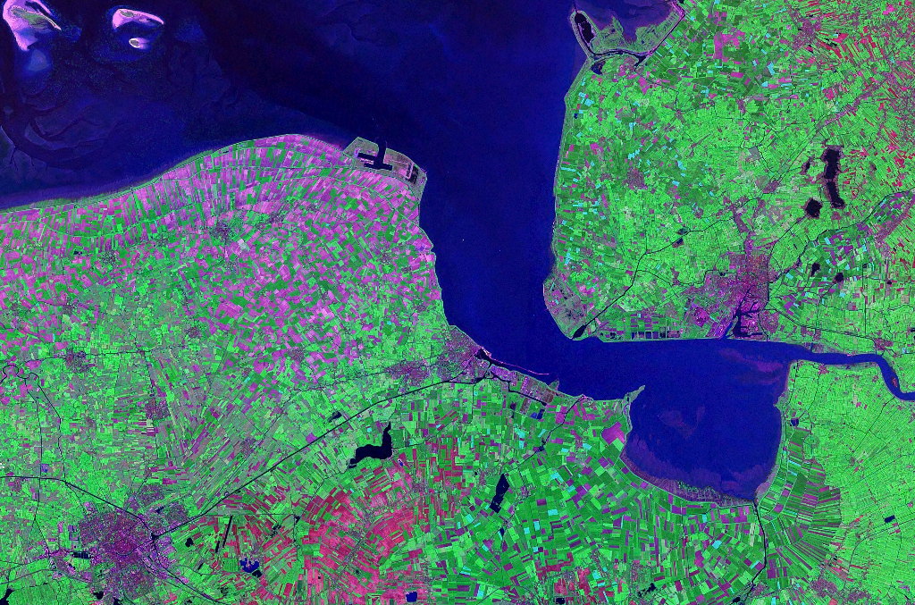
| Description | Satellite image of the Ems-Dollart estuarium between The Netherlands and Germany. Nasa World Wind Landsat 7 satellite, Geocover 2000 | |||
| Source | NASA | |||
| Author | NASA | |||
| Permission (Reusing this file) |
|

File history
Click on a date/time to view the file as it appeared at that time.
| Date/Time | Thumbnail | Dimensions | User | Comment | |
|---|---|---|---|---|---|
| current | 19:23, 29 July 2007 | | 1,024 × 677 (1.6 MB) | Hardscarf | {{Information |Description=Satellite image of the Ems-Dollart estuarium between The Netherlands and Germany. Nasa World Wind Landsat 7 satellite, Geocover 2000 |Source=NASA |Date= |Author=NASA |Permission={{PD-Worldwind}} |other_versions= }} [[Category:D |
File usage
The following pages on the English Wikipedia use this file (pages on other projects are not listed):
Global file usage
The following other wikis use this file: