
File:Walking the Dog (14393715415).jpg

Size of this preview: 800 × 535 pixels. Other resolutions: 320 × 214 pixels | 640 × 428 pixels | 1,000 × 669 pixels.
Original file (1,000 × 669 pixels, file size: 246 KB, MIME type: image/jpeg)
| This is a file from the Wikimedia Commons. Information from its description page there is shown below. Commons is a freely licensed media file repository. You can help. |
.jpg)
Summary
| Description |
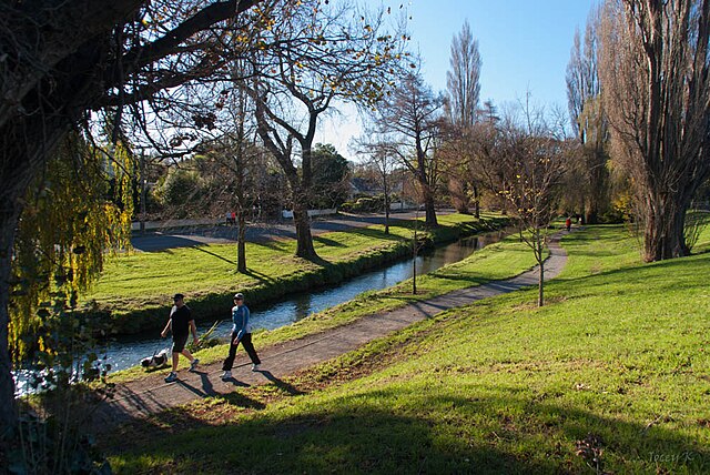
First day of Winter taking a walk through Ernle Clark Reserve, Cashmere, June 1, 2014 Christchurch New Zealand. Ernle Clark is an urban reserve in Christchurch city on the flood plain of the Heathcote River. It is a mix of exotic and native trees with an often tangled understorey of plants. The secluded wild environment attracts native forest birds like fantails, grey warbler, bellbirds, kereru, shining cuckoo, and kingfisher. The meandering track through the reserve is popular with walkers, runners, and children. |
| Date | |
| Source | Walking the Dog |
| Author | Jocelyn Kinghorn from Christchurch, New Zealand |
| Camera location | | View this and other nearby images on: OpenStreetMap |
|---|
.jpg¶ms=-43.566575_N_0172.630825_E_globe:Earth_type:camera_source:Flickr_&language=en)
Licensing
This file is licensed under the Creative Commons Attribution-Share Alike 2.0 Generic license.
- You are free:
- to share – to copy, distribute and transmit the work
- to remix – to adapt the work
- Under the following conditions:
- attribution – You must give appropriate credit, provide a link to the license, and indicate if changes were made. You may do so in any reasonable manner, but not in any way that suggests the licensor endorses you or your use.
- share alike – If you remix, transform, or build upon the material, you must distribute your contributions under the same or compatible license as the original.
| This image was originally posted to Flickr by Jocey K at https://www.flickr.com/photos/48627921@N05/14393715415. It was reviewed on 21 June 2014 by FlickreviewR and was confirmed to be licensed under the terms of the cc-by-sa-2.0. |
File history
Click on a date/time to view the file as it appeared at that time.
| Date/Time | Thumbnail | Dimensions | User | Comment | |
|---|---|---|---|---|---|
| current | 20:22, 21 June 2014 | | 1,000 × 669 (246 KB) | Schwede66 | Transferred from Flickr via Flickr2commons |
File usage
The following pages on the English Wikipedia use this file (pages on other projects are not listed):
Global file usage
The following other wikis use this file:
- Usage on fr.wikipedia.org
.jpg)