
File:WielkoPolska epoki Piastowskiej.jpg

Original file (4,075 × 3,613 pixels, file size: 10.46 MB, MIME type: image/jpeg)
| This is a file from the Wikimedia Commons. Information from its description page there is shown below. Commons is a freely licensed media file repository. You can help. |
Summary
| Description |
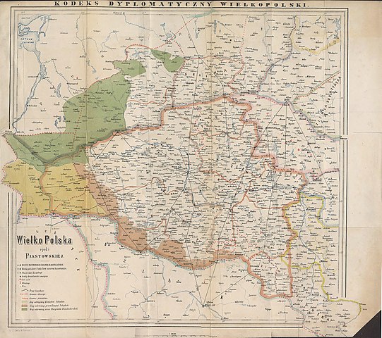
English: Historical map of Greater Poland (Middle Ages) made by Dr. T. Szulc and included in the 4th volume of Codex diplomaticus Maioris Poloniae
Polski: Historyczna mapa Wielkopolski w epoce piastowskiej wykonana przez Dr. T. Szulca i zamieszczona w 4. tomie Kodeksu dyplomatycznego Wielkopolski |
| Date | |
| Source | Kodeks dyplomatyczny Wielkopolski obejmujący dokumenta tak już drukowane, jak dotąd nie ogłoszone, sięgające do roku 1400, t.4, Poznań 1881 - Mapa Wielkopolski |
| Author | Dr. T. Szulc |
| Other versions | Derivative works of this file: Land given up to Silesian dukes (Dr. T. Szulc).jpg |
.jpg)
Licensing
|
This work is in the public domain in its country of origin and other countries and areas where the copyright term is the author's life plus 70 years or fewer.
| |
| This file has been identified as being free of known restrictions under copyright law, including all related and neighboring rights. | |
File history
Click on a date/time to view the file as it appeared at that time.
| Date/Time | Thumbnail | Dimensions | User | Comment | |
|---|---|---|---|---|---|
| current | 15:28, 22 June 2009 | | 4,075 × 3,613 (10.46 MB) | Paelius | {{Information |Description={{en|1=Historical map of Greater Poland (Middle Ages) made by Dr. T. Szulc and included in the 4th volume of Codex diplomaticus Maioris Poloniae}} {{pl|1=Historyczna mapa Wielkopolski w epoce piastowskiej wykonana przez Dr. T. S |
File usage
Global file usage
The following other wikis use this file:
- Usage on azb.wikipedia.org
- Usage on bg.wikipedia.org
- Usage on ca.wikipedia.org
- Usage on cs.wikipedia.org
- Usage on da.wikipedia.org
- Usage on de.wikipedia.org
- Usage on dsb.wikipedia.org
- Usage on el.wikipedia.org
- Usage on es.wikipedia.org
- Usage on et.wikipedia.org
- Usage on fa.wikipedia.org
- Usage on hr.wikipedia.org
- Usage on mk.wikipedia.org
- Usage on nl.wikipedia.org
- Usage on no.wikipedia.org
- Usage on pl.wikipedia.org
- Piła (miasto)
- Głogów
- Wielkopolska
- Jarocin
- Sieraków
- Władysław Odonic
- Bolesław Pobożny
- Lubusz
- Chwarszczany
- Nowa Marchia
- Międzyrzecz
- Świebodzin
- Wschowa
- Łagów (powiat świebodziński)
- Powiat wałecki
- Powiat górowski
- Powiat milicki
- Powiat międzyrzecki
- Międzychód
- Odolanów
- Opole (średniowiecze)
- Osieczna
- Buk (miasto)
- Zamek w Międzyrzeczu
- Kościan
- Fürstenwalde/Spree
- Dolsk
- Osiecko (województwo lubuskie)
- Zbąszyń
- Wąsosz (miasto)
- Wieleń
View more global usage of this file.