
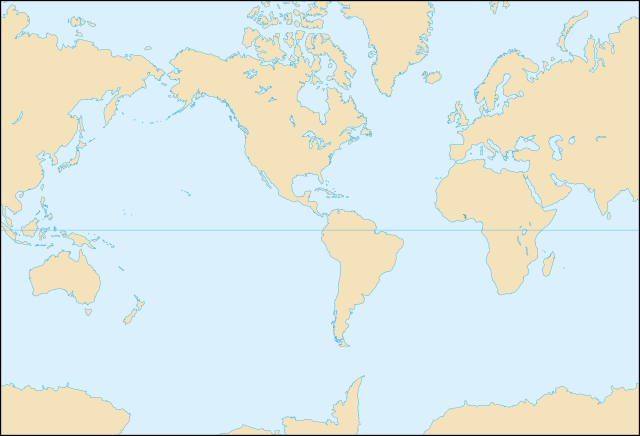
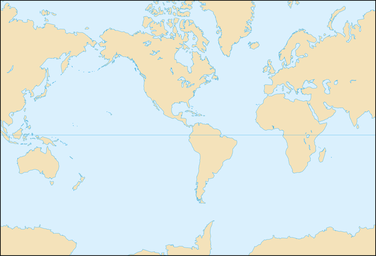
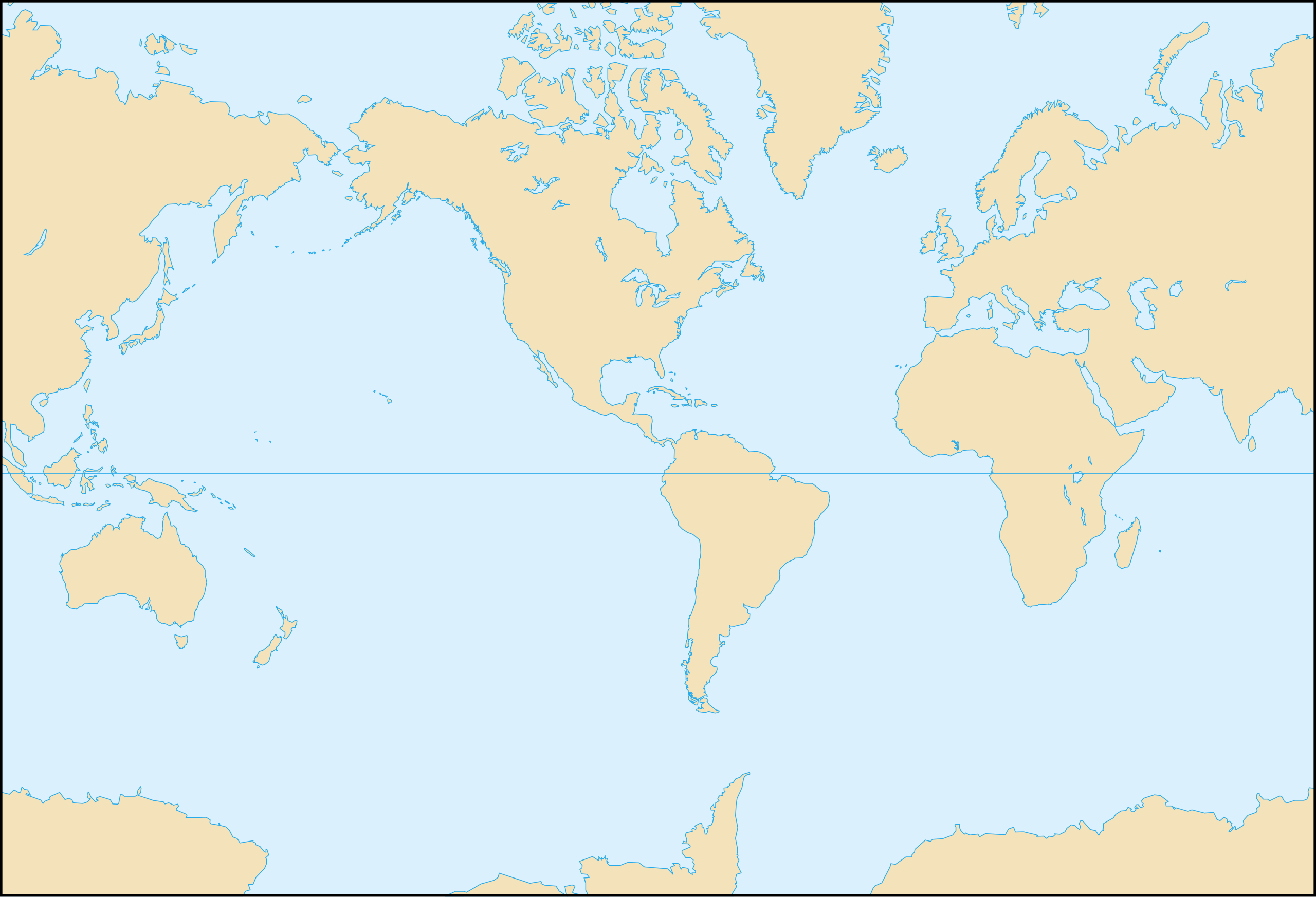
File:World map blank-Americas centred.svg

Size of this PNG preview of this SVG file: 800 × 545 pixels. Other resolutions: 320 × 218 pixels | 640 × 436 pixels | 1,024 × 698 pixels | 1,280 × 873 pixels | 2,560 × 1,745 pixels | 1,100 × 750 pixels.
Original file (SVG file, nominally 1,100 × 750 pixels, file size: 325 KB)
| This is a file from the Wikimedia Commons. Information from its description page there is shown below. Commons is a freely licensed media file repository. You can help. |
Summary
| Description | Blank world map centred on the Americas (shore lines) |
| Date | |
| Source | Tectonic plates (empty).svg created by Ævar Arnfjörð Bjarmason under PD and based on an USGS map |
| Author | Eric Gaba (Sting) |
| SVG development | This W3C-invalid world map was created with Adobe Illustrator. |
.svg)
Français : * Sujet : Carte vierge du monde centrée sur les Amériques ;
- Source : Tectonic plates (empty).svg créée par Ævar Arnfjörð Bjarmason sous DP et basée sur une carte de l'USGS ;
- Auteur : Eric Gaba (Sting) ;
- Date : Octobre 2006 ;
Licensing
| I, the copyright holder of this work, release this work into the public domain. This applies worldwide. In some countries this may not be legally possible; if so: I grant anyone the right to use this work for any purpose, without any conditions, unless such conditions are required by law. |
File history
Click on a date/time to view the file as it appeared at that time.
| Date/Time | Thumbnail | Dimensions | User | Comment | |
|---|---|---|---|---|---|
| current | 00:01, 29 October 2006 | | 1,100 × 750 (325 KB) | Sting | Again |
| 23:57, 28 October 2006 |  | 1,100 × 750 (325 KB) | Sting | + North-American lakes; + Equator | |
| 00:02, 22 October 2006 |  | 1,100 × 750 (253 KB) | Sting | {{Information |Description=Blank world map centred on the Americas |Source='''Background map (modified) :''' Image:Tectonic plates (empty).svg created by Ævar Arnfjörð Bjarmason under PD and based on an [http:// |
.svg)
File usage
No pages on the English Wikipedia use this file (pages on other projects are not listed).
Global file usage
The following other wikis use this file:
- Usage on id.wikipedia.org
- Usage on no.wikipedia.org
- Usage on pt.wikipedia.org