Bambous, Mauritius
Bambous | |
|---|---|
Village | |
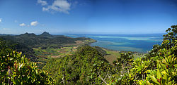
 Bambous Mountains | |
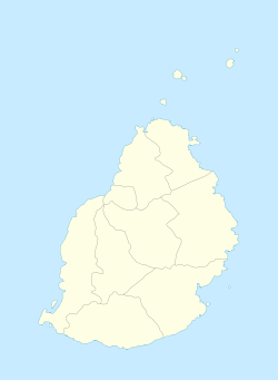
| Coordinates: 20°15′36″S 57°24′53.4″E / 20.26000°S 57.414833°E | |
| Country | |
| Districts | Rivière Noire District |
| Government | |
| Population (2011)[1] | |
| • Total | 15,345 |
| • Density | 702.9/km2 (1,821/sq mi) |
| Time zone | UTC+4 (MUT) |
| Area code | 230 |
| ISO 3166 code | MU |
Bambous is a small town in Mauritius located in the Rivière Noire District. The village is administered by the Bambous Village Council under the aegis of the Rivière Noire District Council.[2] According to the census by Statistics Mauritius in 2011, the population was 15,345.[1]
Sports[edit]
The local football team is the Bambous Etoile de L'ouest S.C. The village hosts a multi-purpose sports venue, the Stade Germain Comarmond, the venue has hosted various international competitions, such as the 2006 African Championships in Athletics and 2009 African Junior Athletics Championships.
See also[edit]
References[edit]
- ^ a b "Table G1 - Resident population by geographical location, whereabouts on census night and sex" (PDF). Statistics Mauritius. 2011: 3 and 4. Archived from the original (PDF) on 3 March 2016. Retrieved 18 December 2012.
{{cite journal}}: Cite journal requires|journal=(help) - ^ Ministry of Local Government and Outer Islands. "Local Government Act 2011" (PDF). Electoral Commissioner's Office: 791. Archived from the original (PDF) on 5 September 2014. Retrieved 5 September 2014.
{{cite journal}}: Cite journal requires|journal=(help)
Wikimedia Commons has media related to Bambous, Mauritius.

