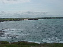
Booby's Bay


Booby's Bay is a sandy beach near Padstow, Cornwall, England, UK.[1][2] During World War I, the three masted sailing ship Carl of the German navy was beached and abandoned in Constantine Bay while being towed to London during a storm.[3]
References[edit]
- ^ Ordnance Survey: Landranger map sheet 200 Newquay & Bodmin (Camelford & St Austell) (Map). Ordnance Survey. ISBN 978-0-319-22938-5.
- ^ "Ordnance Survey: 1:50,000 Scale Gazetteer" (csv (download)). www.ordnancesurvey.co.uk. Ordnance Survey. 1 January 2016. Retrieved 30 January 2016.
- ^ Lettens, Jan. "Carl [+1917]". wrecksite. Retrieved 15 April 2012.
50°32′21″N 5°01′36″W / 50.5392°N 5.0268°W
