
Buckskin Glacier
| Buckskin Glacier | |
|---|---|
 Buckskin Glacier | |
| Type | Valley glacier |
| Location | Matanuska-Susitna Borough, Alaska, U.S. |
| Coordinates | 62°59′09″N 150°21′50″W / 62.98583°N 150.36389°W |
| Length | 14 miles (23 km) [1] |
| Terminus | Hidden River |
| Status | Retreating |
 | |
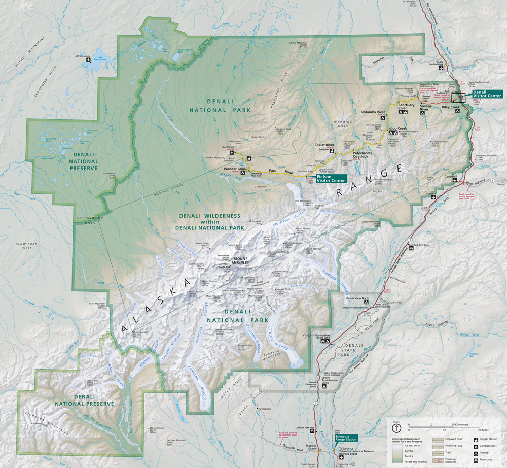
Buckskin Glacier is a glacier in Denali National Park and Preserve in the U.S. state of Alaska. The glacier originates on the east side of The Moose's Tooth, flowing east, then southeast, for 14 miles (23 km) before giving rise to the Hidden River.[2][3][4]
See also[edit]
References[edit]
- ^ Buckskin Glacier
- ^ "Map of Denali National Park and Preserve". Denali National Park and Preserve. National Park Service. Retrieved 2 April 2013.
- ^ Denali National Park and Preserve (Map). !:225,000. National Geographic Maps. 2007. ISBN 978-1-56695-328-3.
- ^ "Buckskin Glacier". Geographic Names Information System. United States Geological Survey, United States Department of the Interior.
This article about a glacier in Alaska is a stub. You can help Wikipedia by expanding it. |