Falköping Airport
Falköping Airport Falköpings flygplats | |||||||||||||||
|---|---|---|---|---|---|---|---|---|---|---|---|---|---|---|---|
 | |||||||||||||||
| Summary | |||||||||||||||
| Airport type | Public | ||||||||||||||
| Owner | Falköping Municipality | ||||||||||||||
| Operator | Kinnarps AB | ||||||||||||||
| Serves | Falköping | ||||||||||||||
| Location | Falköping, Sweden | ||||||||||||||
| Elevation AMSL | 230 ft / 750 m | ||||||||||||||
| Coordinates | 58°10′31″N 13°35′30″E / 58.17528°N 13.59167°E | ||||||||||||||
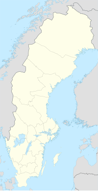
| Map | |||||||||||||||
| Runways | |||||||||||||||
| |||||||||||||||
Falköping Airport is an airport located in Falköping for business and club aircraft. The airport was inaugurated in 1985 and was built by the government of Falköping Municipality to accommodate Kinnarps's desire to have a nearby airfield for its business flights.[1] The airport is only a few hundred meters from Sikagården's industrial area on the outskirts of Falköping. At the airport, Falbygden's Aviation Club operates. The Aviation Club arranges training for glider certificates, motor flight certificates (EASA-PPL) and certificates for ultralight aircraft.[2]
References[edit]
- ^ Nordmark, Ulla (1990). Falköping genom tiderna. 6, Falköpings kommunala historia 1965-1990. Falköping: Kommunstyr. p. 62-64.
- ^ "Falbygdens FK". Falbygdensfk.se.

