
File:Carte de l'agglomération d'Annemasse, 25 000.pdf

Size of this JPG preview of this PDF file: 800 × 566 pixels. Other resolutions: 320 × 226 pixels | 640 × 452 pixels | 1,024 × 724 pixels | 1,280 × 905 pixels | 2,481 × 1,754 pixels.
Original file (2,481 × 1,754 pixels, file size: 5.96 MB, MIME type: application/pdf)
| This is a file from the Wikimedia Commons. Information from its description page there is shown below. Commons is a freely licensed media file repository. You can help. |
Summary
| Description |
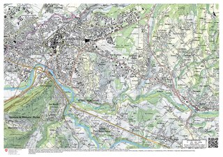
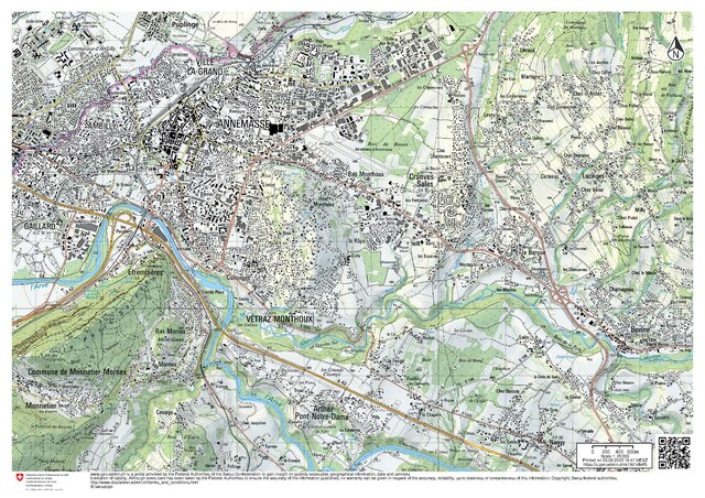
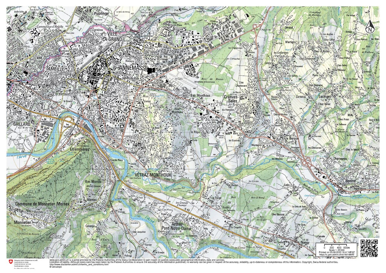
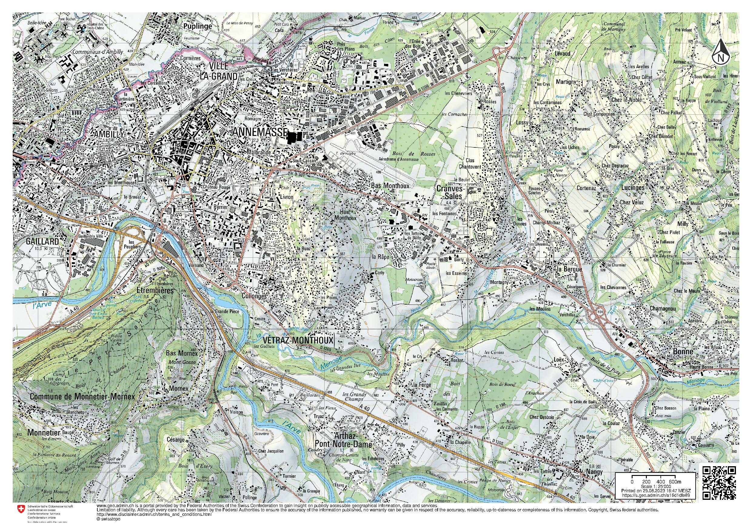
English: Map of Annemasse and surrondings, France, 1:25,000. Swiss National Map.
Français : Carte de l'agglomération d'Annemasse, France, 1/25 000. Carte nationale suisse. |
|||||||||||||||||||||||
| Date | ||||||||||||||||||||||||
| Source | https://s.geo.admin.ch/a16d1dfe89 | |||||||||||||||||||||||
| Author |
|
|||||||||||||||||||||||

Licensing
The data made publicly available by swisstopo may be used, distributed and made accessible. Furthermore, they may be enriched and processed and also used commercially. A reference to the source is mandatory. In the case of digital or analogue representations and publications, as well as in the case of dissemination, one of the following source references must be attached in any case:
Terms of use for free geodata and geoservices (OGD) from swisstopo
|
.svg) |
File history
Click on a date/time to view the file as it appeared at that time.
| Date/Time | Thumbnail | Dimensions | User | Comment | |
|---|---|---|---|---|---|
| current | 14:52, 29 August 2023 | 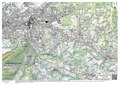 | 2,481 × 1,754 (5.96 MB) | Yann | {{Information |Description={{en|Map of Annemasse and surrondings, France, 1:25,000. Swiss National Map.}} {{fr|Carte de l'agglomération d'Annemasse, France, 1/25 000. Carte nationale suisse.}} |Source=https://s.geo.admin.ch/a16d1dfe89 |Date=29.08.2023 |Author={{Institution:Swisstopo}} |Permission= |other_versions= }} =={{int:license-header}}== {{Attribution-Switzerland-mapdata}} Category:Maps of Annemasse Category:Topographic maps of Haute-Savoie [[Category:Files uploaded by Yann Fo... |
File usage
The following pages on the English Wikipedia use this file (pages on other projects are not listed):