
File:Consolidated Gold Mine, Glory Hole, Dahlonega (Lumpin County, Georgia).JPG

Size of this preview: 450 × 600 pixels. Other resolutions: 180 × 240 pixels | 360 × 480 pixels | 576 × 768 pixels | 768 × 1,024 pixels | 2,112 × 2,816 pixels.
Original file (2,112 × 2,816 pixels, file size: 1.46 MB, MIME type: image/jpeg)
| This is a file from the Wikimedia Commons. Information from its description page there is shown below. Commons is a freely licensed media file repository. You can help. |
.JPG)
|
This is an image of a place or building that is listed on the National Register of Historic Places in the United States of America. Its reference number is 80001111. |
Summary
| Description |
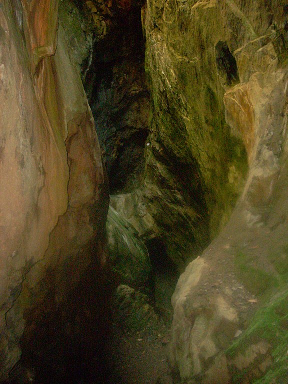
English: Consolidated Gold Mine, Glory Hole, Dahlonega (Lumpin County, Georgia) |
| Date | |
| Source | Own work |
| Author | KudzuVine |
| Object location | | View this and other nearby images on: OpenStreetMap |
|---|
.JPG¶ms=034.538333_N_-083.970000_E_globe:Earth_class:object_region:US_type:landmark_scale:1500_&language=en)
Licensing
| I, the copyright holder of this work, release this work into the public domain. This applies worldwide. In some countries this may not be legally possible; if so: I grant anyone the right to use this work for any purpose, without any conditions, unless such conditions are required by law. |
File history
Click on a date/time to view the file as it appeared at that time.
| Date/Time | Thumbnail | Dimensions | User | Comment | |
|---|---|---|---|---|---|
| current | 20:05, 21 May 2010 | | 2,112 × 2,816 (1.46 MB) | KudzuVine | {{Information |Description={{en|1=Consolidated Gold Mine, Glory Hole, Dahlonega (Lumpin County, Georgia)}} |Source={{own}} |Author=KudzuVine |Date=2010-4-11 |Permission= |other_versions= }} Category:Lumpkin County, Georgia [[Catego |
File usage
The following pages on the English Wikipedia use this file (pages on other projects are not listed):
Global file usage
The following other wikis use this file:
- Usage on de.wikipedia.org
- Usage on www.wikidata.org
.JPG)