
File:S Sawtooth Valley.JPG

Size of this preview: 800 × 600 pixels. Other resolutions: 320 × 240 pixels | 640 × 480 pixels | 1,024 × 768 pixels | 1,280 × 960 pixels | 1,600 × 1,200 pixels.
Original file (1,600 × 1,200 pixels, file size: 379 KB, MIME type: image/jpeg)
| This is a file from the Wikimedia Commons. Information from its description page there is shown below. Commons is a freely licensed media file repository. You can help. |
Summary
| Camera location | | View this and other nearby images on: OpenStreetMap |
|---|
| Description |
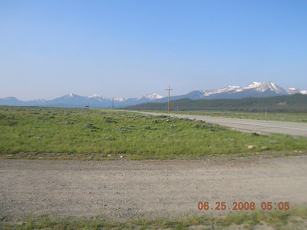
English: The southern Sawtooth Valley in the Sawtooth National Recreation Area, Idaho |
| Date | |
| Source | U.S. Forest Service, Sawtooth National Recreation Area |
| Author | U.S. Forest Service employees |
Licensing
This image is a work of the Forest Service of the United States Department of Agriculture. As a work of the U.S. federal government, the image is in the public domain.
|
File history
Click on a date/time to view the file as it appeared at that time.
| Date/Time | Thumbnail | Dimensions | User | Comment | |
|---|---|---|---|---|---|
| current | 16:34, 8 July 2012 | | 1,600 × 1,200 (379 KB) | Fredlyfish4 |
File usage
The following pages on the English Wikipedia use this file (pages on other projects are not listed):