
Giangurra, Queensland
| Giangurra Queensland | |
|---|---|
 Giangurra town in East Trinity | |
 Giangurra | |
 | |
| Coordinates | 16°54′12″S 145°49′14″E / 16.9033°S 145.8205°E |
| Postcode(s) | 4871 |
| Time zone | AEST (UTC+10:00) |
| Location |
|
| LGA(s) | Cairns Region |
| State electorate(s) | Mulgrave |
| Federal division(s) | Kennedy |
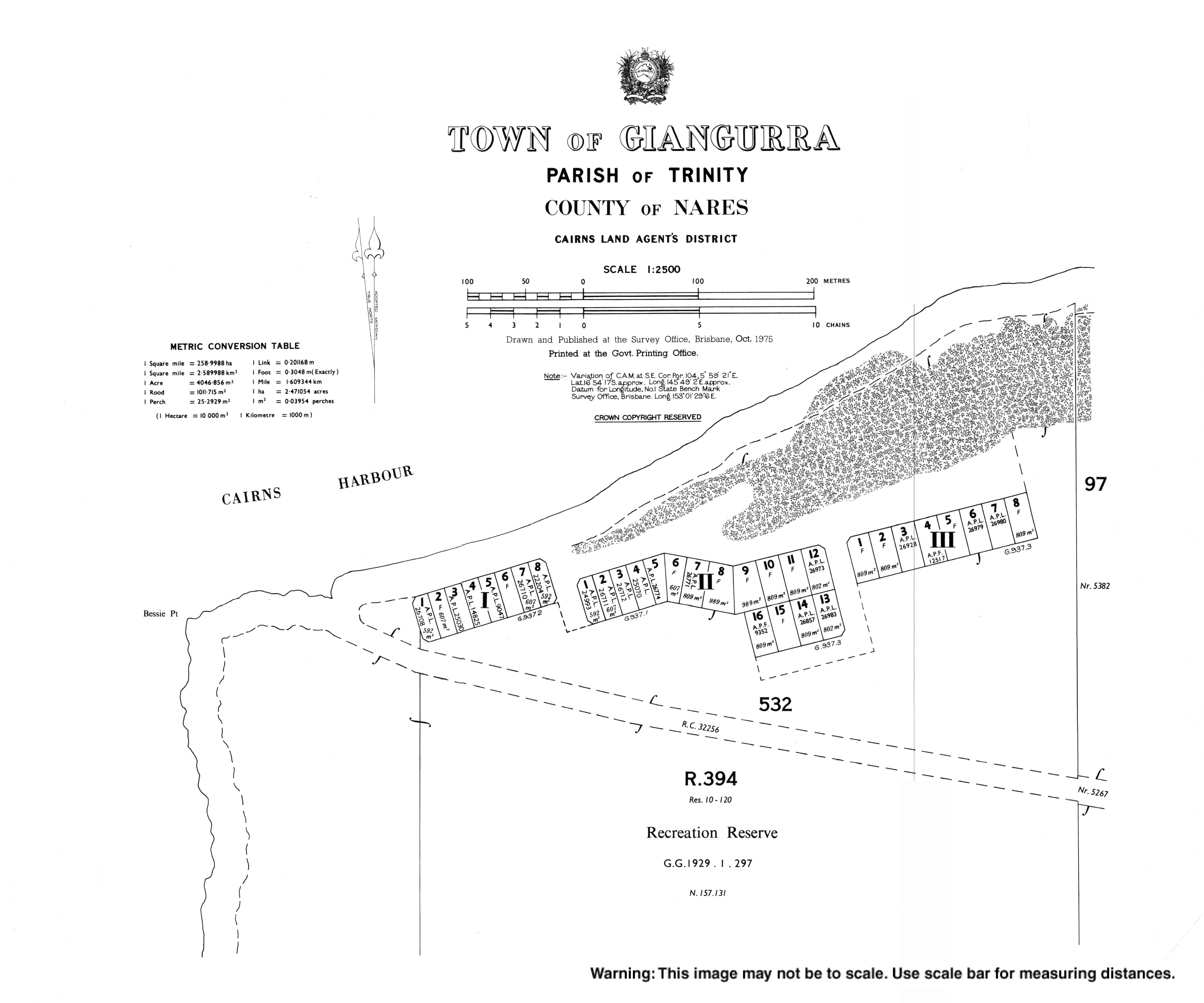
Giangurra is a coastal town in the Cairns Region, Queensland, Australia.[1] It is within the locality of East Trinity on the eastern coast of Trinity Bay.[2]
Geography[edit]
Giangurra is on the northern coast of East Trinity near Bessie Point (16°54′13″S 145°48′45″E / 16.9035°S 145.8124°E)[3][4]
History[edit]

The name Giangurra means village of wild rose thorn, but the language or dialect is unknown.[1]
The town was named on 1 December 1962 by the Queensland Place Names Board.[1]
Education[edit]
There are no schools in Giangurra. The nearest government primary school is Yarrabah State School in Yarrabah to the east. The nearest government secondary schools are Yarrabah State School (to Year 10) and Gordonvale State High School (to Year 12) in Gordonvale to the south.[2]
References[edit]
- ^ a b c "Giangurra – town in Cairns Region (entry 13650)". Queensland Place Names. Queensland Government. Retrieved 29 November 2019.
- ^ a b "Queensland Globe". State of Queensland. Retrieved 23 July 2022.
- ^ "Mountain peaks and capes - Queensland". Queensland Open Data. Queensland Government. 12 November 2020. Archived from the original on 25 November 2020. Retrieved 25 November 2020.
- ^ "Bessie Point – point in Cairns Region (entry 2402)". Queensland Place Names. Queensland Government. Retrieved 25 November 2020.