
Ichera (rural locality)
Ichera
Ичера | |
|---|---|
Location of Ichera  | |
 Ichera Location of Ichera  Ichera Ichera (Irkutsk Oblast) | |
| Coordinates: 58°30′54″N 109°46′29″E / 58.51500°N 109.77472°E | |
| Country | Russia |
| Federal subject | Irkutsk Oblast |
| Population | |
| • Total | 1,965 |
| • Municipal district | Kirensky District |
| Time zone | UTC+8 (MSK+5 |
| Postal code(s)[3] | 666745 |
| OKTMO ID | 25620419105 |
Ichera (Russian: Ичера or Ичёра) is an rural locality (rural-type settlement) in Kirensky District of Irkutsk Oblast, Russia. Population: 6 (2010 Russian census);[1] 12 (2002 Census);[4]
Geography[edit]
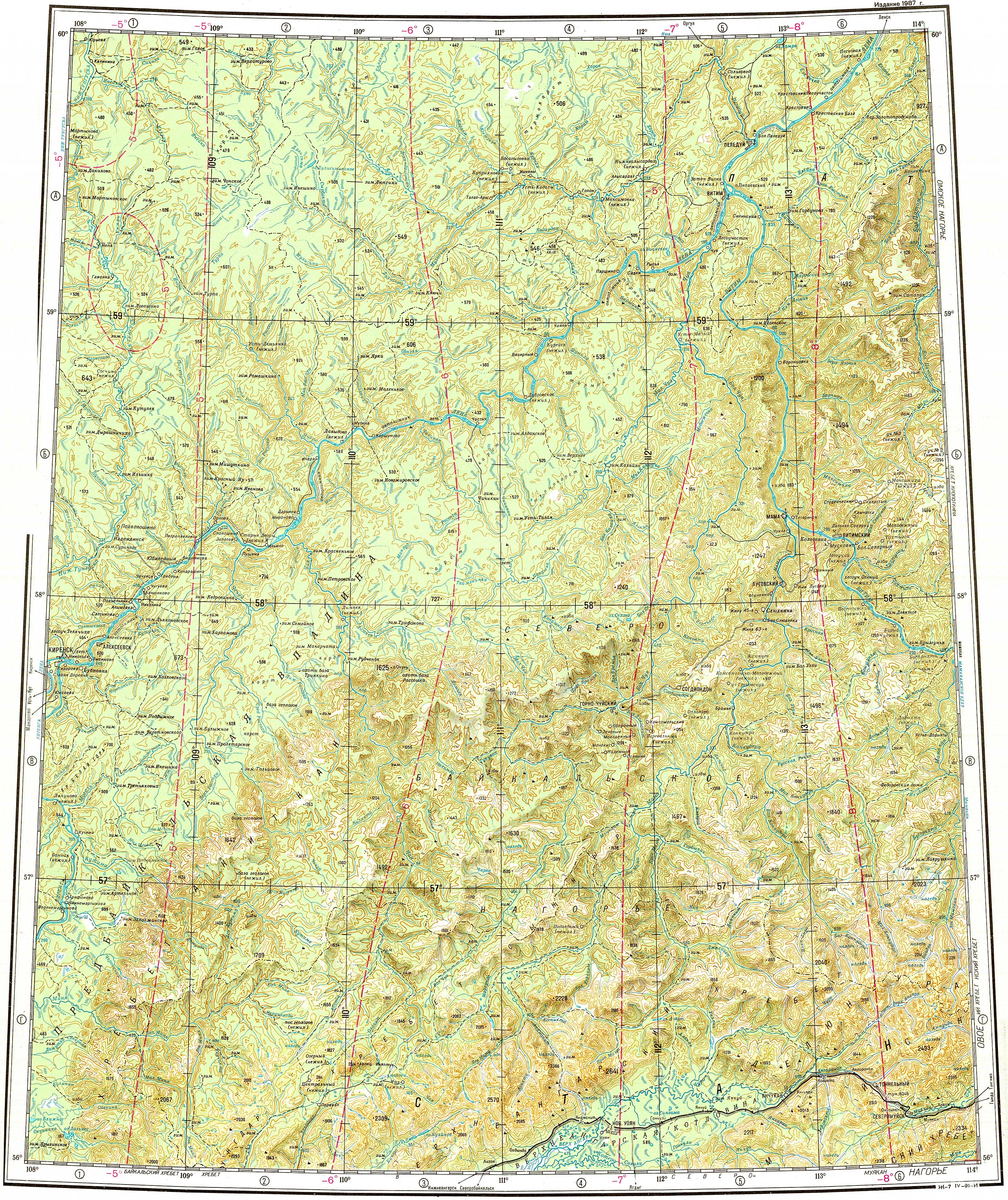
The village is located on the left bank of the Lena, a little upstream from the mouth of the Ichera.[5]
See also[edit]
References[edit]
- ^ a b c d Russian Federal State Statistics Service (2011). Всероссийская перепись населения 2010 года. Том 1 [2010 All-Russian Population Census, vol. 1]. Всероссийская перепись населения 2010 года [2010 All-Russia Population Census] (in Russian). Federal State Statistics Service.
- ^ "Об исчислении времени". Официальный интернет-портал правовой информации (in Russian). 3 June 2011. Retrieved 19 January 2019.
- ^ Почта России. Информационно-вычислительный центр ОАСУ РПО. (Russian Post). Поиск объектов почтовой связи (Postal Objects Search) (in Russian)
- ^ Federal State Statistics Service (21 May 2004). Численность населения России, субъектов Российской Федерации в составе федеральных округов, районов, городских поселений, сельских населённых пунктов – районных центров и сельских населённых пунктов с населением 3 тысячи и более человек [Population of Russia, Its Federal Districts, Federal Subjects, Districts, Urban Localities, Rural Localities—Administrative Centers, and Rural Localities with Population of Over 3,000] (XLS). Всероссийская перепись населения 2002 года [All-Russia Population Census of 2002] (in Russian).
- ^ "Топографска карта O-49; M 1:1 000 000 - Topographic USSR Chart (in Russian)". Retrieved 11 April 2022.