Kazbegi National Park
| Kazbegi National Park | |
|---|---|
 View from Juta village in Kazbegi Municipality. Located on the southern slope of the main ridge of Kavkasioni. Kazbegi National Park. | |
| Location | |
| Nearest city | Stepantsminda |
| Coordinates | 42°30′12.61″N 44°27′14.55″E / 42.5035028°N 44.4540417°E |
| Area | 1,446.17 km2 (558.37 sq mi)[1] |
| Established | 1976 |
| Governing body | Agency of Protected Areas |
| Website | Kazbegi National Park Administration |
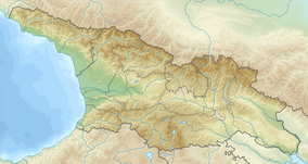
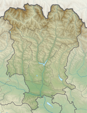
Kazbegi National Park (Georgian: ყაზბეგის ეროვნული პარკი) is in Kazbegi Municipality in the Mtskheta-Mtianeti region of north-eastern Georgia.[1][2]
Kazbegi National Park is a popular tourist destination despite the lack of basic tourism infrastructure.[3]
Historical monuments worth a visit are the fourteenth-century Sameba temple, the tenth-century Garbanikerk, the Sioni basilica, the Akhaltsikhe basilica and the seventeenth-century Sno Castle.[4] In the area one finds a mix of Christian and pagan customs.
See also[edit]
- List of protected areas of Georgia
 Kazbegi National Park travel guide from Wikivoyage
References[edit]
- ^ a b Kazbegi National Park in Georgia Protected Planet
- ^ Kazbegi Support Programme for Protected Areas in the Caucasus - Georgia (SPPA-Georgia).
- ^ Kazbegi National Park Administration
- ^ Sno Castle 2018 Castles.nl
Wikimedia Commons has media related to Kazbegi National Park.


