
Tagaytay–Calamba Road
.svg) | |
|---|---|
| Calamba–Tagaytay Road | |
| Route information | |
| Maintained by Department of Public Works and Highways - Cavite 2nd District Engineering Office and Laguna 2nd District Engineering Office | |
| Length | 23.166 km[1] (14.395 mi) |
| Component highways | |
| Tagaytay section | |
| Length | 8.597 km[1] (5.342 mi) Includes the 3.676 km (2.284 mi) segment part of N421 |
| West end | |
| Major intersections |
|
| East end | Mount Sungay in Tagaytay |
| Calamba section | |
| Length | 14.569 km[1] (9.053 mi) |
| West end | Entrance to Tagaytay Highlands in Calamba |
| East end | |
| Location | |
| Country | Philippines |
| Provinces | Cavite and Laguna |
| Major cities | Calamba and Tagaytay |
| Highway system | |
| |
The Tagaytay–Calamba Road is a two- to four-lane, secondary and tertiary road in Laguna and Cavite, Philippines.[2][3] Albeit discontinuous, it connects the city of Calamba in Laguna and the city of Tagaytay in Cavite. The road's missing link that will connect its Tagaytay and Calamba sections is under construction.[4]
The segment of road from its western terminus at Tagaytay Rotonda to Ligaya Drive, both in Tagaytay, forms part of National Route 421 (N421) of the Philippine highway network, while the rest of the road remains unnumbered.[1]
Route description[edit]
Tagaytay[edit]
The road starts at the Tagaytay Rotonda, a four-way roundabout with Aguinaldo Highway, Tagaytay–Nasugbu Highway, and Tagaytay–Talisay Road in Tagaytay City. It runs east along the Tagaytay Ridge. Various restaurants, hotels, residential developments, and tourists attractions could be found along this road. It then intersects the Santa Rosa–Tagaytay Road, which provides access to the South Luzon Expressway, and Ligaya Drive, where N421 turns towards Talisay, Batangas and the road transitions from a secondary road to a tertiary road. It then climbs Mount Sungay and terminates at the People's Park in the Sky. The entire Tagaytay segment is also known as Isaac O. Tolentino Avenue.[1]
Calamba[edit]
The road continues at the southwestern boundary of Calamba, Laguna, running east from the northern gate to Tagaytay Highlands. Entirely a tertiary road, it is divided and locally known as Bunggo Road, Burol Road, Lawa–Punta Road, and Barandal Road, after the barangays it traverse through, respectively. It also traverses residential subdivisions and Calamba Premiere Industrial Park. It crosses beneath the South Luzon Expressway before terminating at Manila South Road (Old National Highway) in barangay Parian.[1]
History[edit]
The road was built with its initial segment from Highway 17 (present-day Aguinaldo Highway and Tagaytay–Nasugbu Highway) to Mount Sungay at the eastern part of Tagaytay.[5] Based on a 1941 map by the United States Coast and Geodetic Survey, it was supposed to connect Tagaytay to Santo Tomas, Batangas,[6] but the plan did not materialize as it was later apparently realigned towards Calamba, Laguna, thus assuming the name Tagaytay–Calamba Road.
On March 15, 2017, Representatives Abraham Tolentino (Cavite–7th) and Celso Lobregat (Zamboanga City–1st) filed House Bill No. 4947 that seeks to rename the road's existing Tagaytay segment in honor of Isaac Tolentino, the former's father who served as Tagaytay mayor from 1954 to 1980 and died in 2016.[7] On March 12, 2018, the Senate unanimously passed the bill's Senate counterpart that was sponsored by Senator Manny Pacquiao.[8] On June 29, 2018, President Rodrigo Duterte signed Republic Act No. 11046, officially renaming such segment to Isaac O. Tolentino Avenue.[9]
References[edit]
- ^ a b c d e f "Road and Bridge Inventory". Department of Public Works and Highways. Retrieved July 9, 2023.
- ^ "Laguna 2nd". Department of Public Works and Highways. Retrieved January 9, 2018.
- ^ "Cavite 2nd". Department of Public Works and Highways. Retrieved January 9, 2018.
- ^ "IAPP NON-CSE 2020-Civil Works" (PDF). Department of Public Works and Highways. Retrieved July 17, 2021.
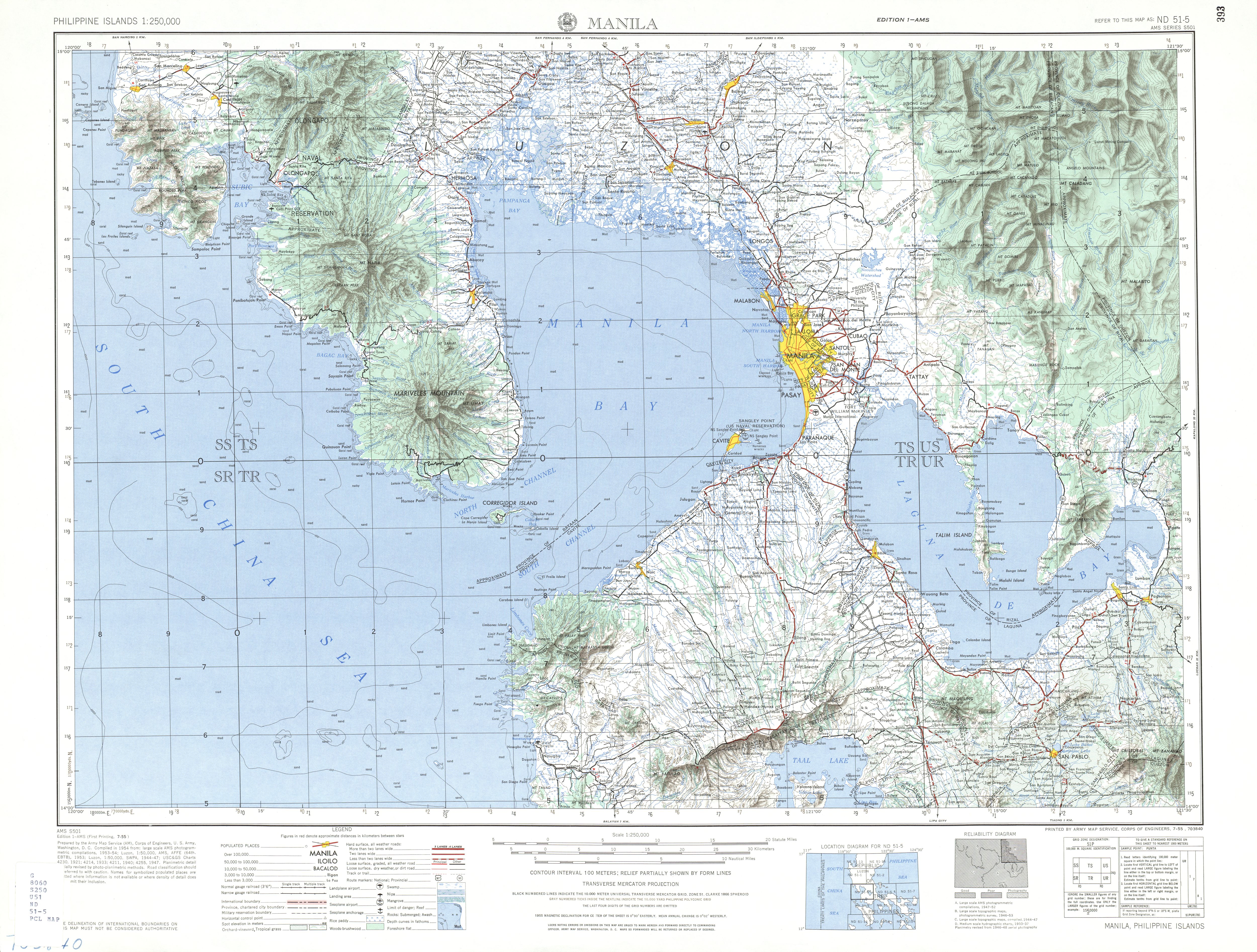
- ^ ND 51-5 Manila (Map). 1:250,000. S501. Washington D.C.: Army Map Service, Corps of Engineers. 1954. Retrieved July 4, 2023.
- ^ Southern Luzon Western Sheet (Map). 1:200000. Washington D.C.: Coast and Geodetic Survey. 1941. Retrieved July 4, 2023.
- ^ "Visit to the Wake of Former Tagaytay City Mayor Isaac Tolentino". Radio Television Malacañang. July 6, 2016. Retrieved October 18, 2020.
- ^ House Bill No. 4947 (15 March 2017), "An Act Renaming the Road Traversing Barangays San Jose, Tolentino West, Tolentino East, Francisco, Sungay West (Left Side), Sungay East (Right Sie), Sungay East, Iruhin West, Iruhin Central, Iruhin East and Dapdap West in the City of Tagaytay, Province of Cavite to Isaac O. Tolentino Avenue", Senate of the Philippines, retrieved July 9, 2023
- ^ Republic Act No. 11046 (29 June 2018), "An Act Renaming the Road Traversing Barangays San Jose, Tolentino West, Tolentino East, Francisco, Sungay West (Left Side), Sungay East (Right Side), Sungay East, Iruhin West, Iruhin Central, Iruhin East and Dapdap West in the City of Tagaytay, Province of Cavite to Isaac O. Tolentino Avenue" (PDF), Official Gazette of the Republic of the Philippines, retrieved July 17, 2021
| Expressways |
| ||||||||
|---|---|---|---|---|---|---|---|---|---|
| National roads |
| ||||||||
| Arterial Routes |
| ||||||||
| Expressways |
| ||||||
|---|---|---|---|---|---|---|---|
| National highways |
| ||||||
| Provincial roads and other major roads |
| ||||||
This Philippine road or road transport-related article is a stub. You can help Wikipedia by expanding it. |