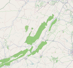
Pilot, Virginia
Pilot, Virginia | |
|---|---|
Unincorporated community | |
| Coordinates: 37°03′07″N 80°21′49″W / 37.05194°N 80.36361°W | |
| Country | United States |
| State | Virginia |
| County | Montgomery |
| Elevation | 2,274 ft (693 m) |
| Time zone | UTC-5 (Eastern (EST)) |
| • Summer (DST) | UTC-4 (EDT) |
| ZIP code | 24138 |
| Area code | 540 |
| GNIS feature ID | 1472316[1] |
Pilot is an unincorporated community in Montgomery County, Virginia, United States. Pilot is 5.9 miles (9.5 km) south-southeast of Christiansburg. Pilot has a post office with ZIP code 24138.[2][3]
The Guerrant House was listed on the National Register of Historic Places in 1989.[4]
Climate[edit]
The climate in this area is characterized by hot, humid summers and generally mild to cool winters. According to the Köppen Climate Classification system, Pilot has a humid subtropical climate, abbreviated "Cfa" on climate maps.[5]
References[edit]
- ^ "Pilot". Geographic Names Information System. United States Geological Survey, United States Department of the Interior.
- ^ United States Postal Service (2012). "USPS - Look Up a ZIP Code". Retrieved February 15, 2012.
- ^ "Postmaster Finder - Post Offices by ZIP Code". United States Postal Service. Retrieved October 6, 2012.
- ^ "National Register Information System". National Register of Historic Places. National Park Service. July 9, 2010.
- ^ Climate Summary for Pilot, Virginia


