
Talk:Eridanos (geology)
| This article is rated Start-class on Wikipedia's content assessment scale. It is of interest to the following WikiProjects: | |||||||||||
| |||||||||||

spelling of name[edit]
The name given to this river that was already known as the 'Baltic River System' (!) is Eridanos, and not Eridanus. This is shown by the paper in which this name has been used for the first time. In mine opinion it is inappropriate to change this name!
See:
- Overeem, I., Weltje, G.J., Bishop-Kay, C. & Kroonenberg, S.B., 2002. The Late Cenozoic Eridanos delta system in the southern North Sea Basin: a climate signal in sediment supply? Basin Research, 13: 293-312.
--Tom Meijer (talk) 21:27, 21 February 2008 (UTC)
It was comparable in size to the current-day Amazon River.[edit]
Size can have several meanings when it is applied to rivers! So I wonder what this statement means. Perhaps it means the Eridanos is as long as the Amazone? In that case it is certainly wrong. Perhaps it means the Eridanos carried as much water as the Amazone? In that case the statement is extremely unlikely at best (unless the statement is backuped by a source - as long it is not, I suppose it can be challenged on many grounds). Personally, I think the delta of the Eridanos was as large as the Amazone delta. In that case the respective sentence in the article should be changed as well, as it is currently confusing at best. DaMatriX (talk) 02:17, 13 July 2009 (UTC)
- I felt those sentences were strange too, and have rephrased that bit. Surely the meaning is that the size of the delta was comparable to the Amazon estuary. I suspect it would be very hard to establish the size of the delta at any one time - the size could be a biy illusory, because both deltas and coastlines develop over time. The Mississippi and Danube deltas have changed and moved outwards during the last six thousand years, the inner parts of the delta becoming firm land. Coastlines move too, as in Asia Minor. /Strausszek (talk) 18:06, 1 August 2009 (UTC)
river existed into later / upper Pleistocene ?[edit]
add image[edit]
https://commons.wikimedia.org/wiki/File:Eridanos_-_former_fluvial_system.svg is usded on other language pages for this. Can someone add it?Mzmadmike (talk) 16:48, 18 September 2012 (UTC) topographical maps, of the north sea, show a "channel" extending out from the Netherlands "delta" region; across the continental shelf; out to the Atlantic abysses.
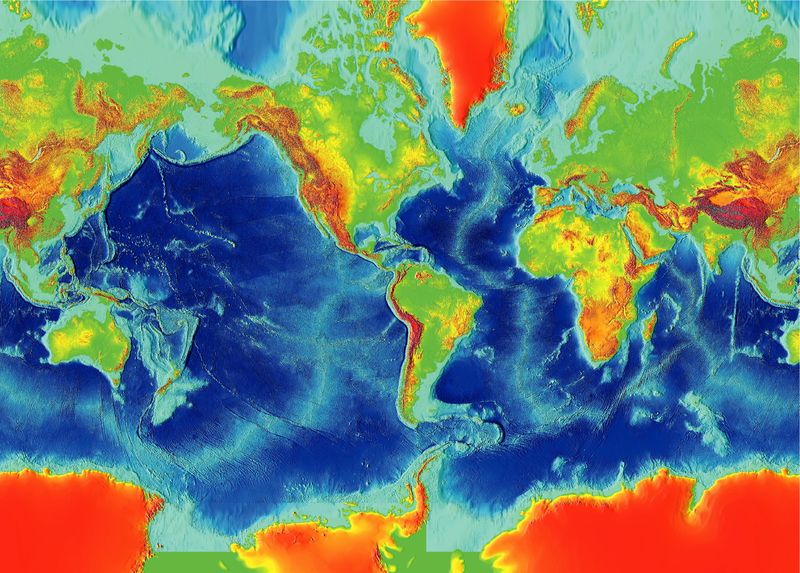
http://archaeology.org/blog/wp-content/uploads/2008/07/800px-earth_surface_ngdc_2000.jpg Could the Eridanos river have survived after 700 Kya, cutting across the then-exposed " Doggerland plateau", out to sea ? 24.143.92.97 (talk) 04:27, 4 March 2012 (UTC)
Theoretical Science[edit]
Is this river part of one or some's theory or theoretical geography? — Preceding unsigned comment added by 144.183.224.2 (talk) 17:19, 19 February 2013 (UTC)
Baltic River System[edit]
In the lead we say
- Its river system was better known as the "Baltic River System"
Was - when? Not when it existed, I'm sure ;-) Not sure what we should say - but not this. Perhaps:
- Eridanos and tributaries are also known as the "Baltic River System"